Hilo Hawaii — Retro Vintage History
What's with Rainbow Falls? Just above town, the Wailuku River pours over the lip of a lava cave into a wide green pool, and on a clear Hilo morning the mist throws a rainbow across the whole scene. Hawaiians call the place Waiānuenue — “rainbow seen in water” — and in the old stories the cave below was a dwelling place in Hawaiian tradition. The falls drop about eighty feet and run close to a hundred across when the river is high. Reach it early, before the tour vans, when the sun is low and the spray is bright, and you'll see exactly how the falls earned both their names. It is the easiest wonder to find in Hilo, and one of the loveliest in all Hawaiʻi.
Wear the HistoryWhere you’re from. Where you love. Where you explored. Where you belong.
Hilo's story begins on the bay. Native Hawaiians settled this rain-fed eastern coast of Hawaiʻi Island for centuries, farming kalo (taro) in the wet lowlands, fishing the bay and reefs, and reading the rivers that run down from the mountains. In the bay sits Mokuola — Coconut Island — whose name means “island of life,” long known as a place of healing and refuge. This was a settled, cultivated landscape, rich in water and tradition, generations before any ship from the outside world dropped anchor in Hilo Bay. East of town the shoreline turns to black rock and sheltered pools — Onekahakaha, Carlsmith, Richardson — where families still swim in water warm enough to forget the rain.

The bay made the town. Through the nineteenth century, traders and missionaries arrived, a harbor grew on the crescent shore, and Hilo became the commercial and shipping center of the island's eastern side. Behind it all rose the great mountains — Mauna Kea, often snow-capped, and Mauna Loa — feeding the rivers and the famous Hilo rain that keeps the whole coast green. Two rivers, the Wailuku and the Wailoa, run down through the town to the bay. About 126 inches of rain fall here in an average year, spread across more than 270 days of it, which makes Hilo one of the rainiest cities in the country and the reason for the rainforest at its back. That abundance of water is the through-line of Hilo's whole story, from the taro fields to the waterfalls to the famous green of the place.
QUICK FACTS — HILO, HI
Hilo sits on the windward east coast of Hawaiʻi Island and is the seat of Hawaiʻi County.
About 126 inches of rain fall at Hilo in an average year, across more than 270 days, among the highest totals of any U.S. city.
Rainbow Falls is known in Hawaiian as Waiānuenue, meaning “rainbow seen in water,” and drops about eighty feet on the Wailuku River.
Mokuola, the small island in Hilo Bay also called Coconut Island, means “island of life” and was long a place of healing.
The Edo-style Japanese garden on Hilo's bayfront was built between 1917 and 1919 on land given by Queen Liliʻuokalani.
Many of the banyan trees along Hilo's Banyan Drive were planted by visiting figures of the 1930s.
Tsunamis struck Hilo Bay in 1946 and 1960, and the city rebuilt its most exposed bayfront as open parkland rather than buildings.
Hilo's multi-purpose stadium is named for Edith Kanakaʻole, the kumu hula and teacher honored on a 2023 U.S. quarter.
In the later nineteenth century, sugar plantations reshaped the district and drew waves of immigrant labor — Japanese, Chinese, Filipino, Portuguese, and others — whose families stayed and built the layered, multicultural Hilo of today. You can read that heritage all over town: in the mix of churches and temples, in the family names, in a plate lunch or a bag of malasadas or the poke and mochi sold along Kamehameha Avenue — the loco moco itself was invented on this island — and above all on the bayfront, where Queen Liliʻuokalani gave the land for a park that became an Edo-style Japanese garden, built between 1917 and 1919 as a tribute to the first Japanese immigrants who worked the cane. It is widely called the largest garden of its kind outside Japan, and it is free and open every day. When the plantations faded in the twentieth century, that community remained the heart of the place.

Hilo's resilience was tested hard by the sea. Tsunamis in 1946 and again in 1960 struck Hilo Bay with terrible force and great loss of life, sweeping through the low downtown along the water. The city rebuilt — and rather than rebuild in harm's way, it deliberately turned the most exposed bayfront into the open green parkland and gardens you see today, a quiet buffer between the town and the water. That history is remembered, not hidden, at the Pacific Tsunami Museum downtown, and it helped give rise to the Pacific-wide warning systems that protect coastlines now.
Through all of it, Hilo kept its culture at the center. Every spring the Merrie Monarch Festival fills the town for a week of Hawaiian language, chant, and dance that makes Hilo, for those days, the cultural capital of the islands. The rest of the year that same spirit runs through the Hilo Farmers Market, the heritage banyans of Banyan Drive — many of them planted by visiting figures of the 1930s, Babe Ruth and Amelia Earhart and Louis Armstrong among them — the ʻImiloa Astronomy Center linking Hawaiian sky-knowledge to the summit observatories, and the waterfalls and gardens that ring the bay.
What's with Aunty Edith? Hilo's biggest stage carries her name. Edith Kanakaʻole was born on Hawaiʻi Island in 1913, founded the hālau Hālau o Kekuhi in 1953, and spent the 1970s teaching — at Hawaiʻi Community College and then at the University of Hawaiʻi at Hilo — where she built courses in Hawaiian language, chant, genealogy, ethnobotany and Polynesian history, and helped shape the first Hawaiian-language program for public school students. She was a composer too, and her album Hiʻipoi I Ka ʻĀina Aloha, “Cherish the Beloved Land,” won a Nā Hōkū Hanohano award; one of its songs, “Ka Uluwehi O Ke Kai,” is still sung across the islands. Hilo named its multi-purpose stadium for her, and the university named a hall. In 2023 the United States Mint honored her on a quarter in the American Women Quarters Program, her portrait flowing into the island landscape beside the words “E hō mai ka ʻike” — granting the wisdom — from a chant she composed.

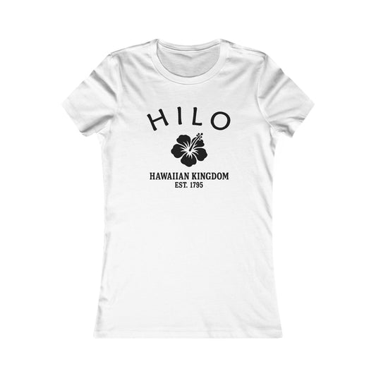
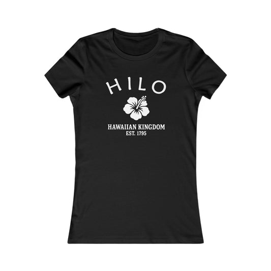
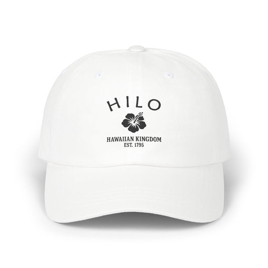
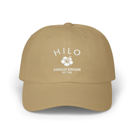
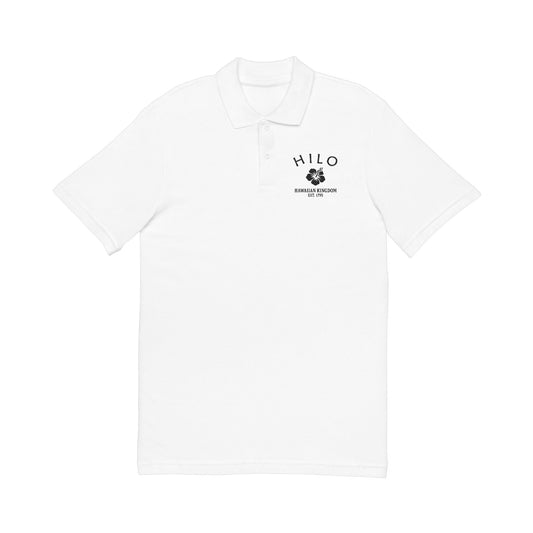
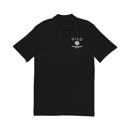
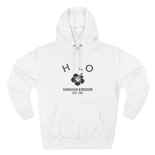
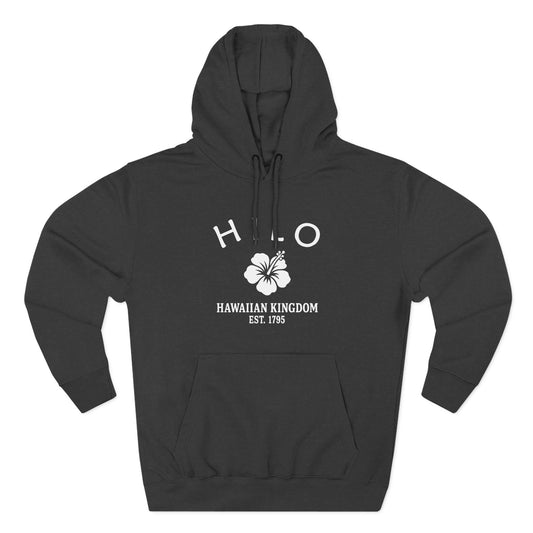
Our Hilo logo carries the same emblem every Merlin Classics Hawaiʻi place wears — the hibiscus, above “Hawaiian Kingdom · Est. 1795,” the year of unification under Kamehameha, printed in a worn, hand-pressed black and white. The hibiscus is the islands' mark, the through-line that ties Hilo to every other Hawaiʻi place we make — a nod to the aloha that defines them. What makes this one Hilo is everything around it: the bay, Rainbow Falls on the Wailuku, and the rain-green mountains behind the town.
Today Hilo is the bayfront cultural capital of Hawaiʻi Island — a rain-green town of waterfalls, gardens, and hula, looking out across its crescent bay to Mauna Kea. Its story runs from a Native Hawaiian homeland on the bay through a plantation port and the hard lessons of the sea to the warm, multicultural town it is now. Our Hilo designs gather that identity into wearable form — the hibiscus-and-1795 emblem, the bay, and the falls. Hilo, Hawaiʻi: rain, rainbows, and aloha.
Hilo, Hawaiʻi — Travel Guide
Visiting Hilo Today
Hilo sits on the rainy, green eastern coast of Hawaiʻi Island, wrapped around its crescent bay with Mauna Kea behind. It is a relaxed, walkable town of historic storefronts, gardens, and markets, with waterfalls minutes away and Hawaiʻi Volcanoes National Park a short drive inland — the most authentic base on the island.
The Falls, the Bay & the Gardens
For visitors looking for things to do in Hilo, Hawaiʻi:
- See Rainbow Falls (Waiānuenue) on the Wailuku River in the morning, when the mist is most likely to throw a rainbow. Wailuku River State Park now charges an entry and parking fee for visitors.
- Walk up the river to Boiling Pots and Peʻepeʻe Falls, where the Wailuku runs through a chain of round pools.
- Stroll the Edo-style Japanese garden on the bayfront — koi ponds, arched bridges, stone lanterns and a teahouse — free and open daily.
- Cross the footbridge to Mokuola, Coconut Island, for the best view back across Hilo Bay to Mauna Kea.
- Shop the Hilo Farmers Market downtown for tropical fruit, orchids, and island-grown produce.
- Swim the sheltered beach parks east of town — Onekahakaha, Carlsmith and Richardson — where black rock shelters warm tide pools.
- Walk the historic Kamehameha Avenue bayfront, where early-twentieth-century storefronts still line the street.
- Drive Banyan Drive under the heritage banyans planted along the Waiakea Peninsula.
- Visit the ʻImiloa Astronomy Center, which pairs Hawaiian sky-knowledge with the science of the summit observatories.
- Learn the bay's tsunami history at the Pacific Tsunami Museum, housed in a 1930 bank building downtown.
- (If you have time…) the Wailoa River State Recreation Area just behind the bayfront — quiet lawns, arched bridges and fishponds, five minutes from downtown and almost never busy.
Why People Visit Hilo
Hilo offers the most authentic, culturally rich side of Hawaiʻi Island — waterfalls, gardens, markets, and deep Hawaiian heritage, all in a relaxed bayfront town. Visitors come for the rainforest scenery and the easy access to volcanoes and coast, and stay for the unhurried, welcoming feel of a real town rather than a resort strip. From the morning rainbows at Waiānuenue to the gardens along the bay, it rewards a slow pace. It is green, genuine, and beautiful in every season on the bay.
Wear the History
Where you’re from. Where you love. Where you explored. Where you belong.
Kindred Cities
A warm welcome to visitors from Nara (ようこそ) and Bergen (velkommen) — kindred towns of rain, green and deep-rooted heritage.
Rain makes Hilo what it is — the wettest city in the United States, lush to the waterline — and that is the first thing Bergen would recognise, itself Europe's rainiest city, green beneath its fjords. Nara speaks to Hilo's other half: the deep Japanese heritage of the old plantation families, honoured in Hilo's Liliʻuokalani Gardens, among the largest Japanese gardens outside Japan. Two kinds of kinship, water and roots.
Love a green, rain-fed town and Hilo delivers: a crescent bay, waterfalls minutes from downtown, banyan-shaded streets, and a Japanese garden that turns the whole bayfront serene. Bring a rain jacket and stay anyway. Come and visit us soon.
When you plan the trip, the Island of Hawaiʻi Visitors Bureau is the place to start.
Wear the History
Where you’re from. Where you love. Where you explored. Where you belong.

For deeper reading on the Hilo history described here — the Native Hawaiian settlement of Hilo Bay and Mokuola, the nineteenth-century port and missionary era, the sugar-plantation and multicultural immigration period, the bayfront Japanese garden built between 1917 and 1919, the 1946 and 1960 tsunamis and the city's rebuilding, the Merrie Monarch hula tradition, and the kumu hula and teacher Edith Kanakaʻole — it may be useful to consult (1) the Lyman Museum and Mission House in Hilo, (2) the Hawaiʻi State Archives and the Hawaiian Historical Society, (3) the University of Hawaiʻi at Hilo and the Pacific Tsunami Museum, (4) the Bishop Museum for Hawaiian cultural collections, and (5) the County of Hawaiʻi and the Hawaiʻi State Historic Preservation Division. For travel and visitor information, it may be useful to contact (1) the Island of Hawaiʻi Visitors Bureau and (2) the County of Hawaiʻi Department of Parks and Recreation.
Shop the Hilo Hawaiʻi collection
View full collection-
Hilo Hawaii Vintage Retro Premium Crewneck Sweatshirt - Black Logo
Regular price $48.00 USDRegular price -
Hilo Hawaii Vintage Retro Premium Crewneck Sweatshirt - White Logo
Regular price $48.00 USDRegular price -
Hilo Hawaii Vintage Retro Womens Fitted Ringspun Cotton Tee - Black Logo
Regular price $28.00 USDRegular price -
-
Hilo Hawaii Vintage Retro Embroidered Cotton Cap - Black Logo
Regular price $32.00 USDRegular price -
Hilo Hawaii Vintage Retro Embroidered Cotton Cap - White Logo
Regular price $32.00 USDRegular price -
Hilo Hawaii Vintage Retro Unisex Embroidered Cotton Polo - Black Logo
Regular price $48.00 USDRegular price -
Hilo Hawaii Vintage Retro Unisex Heavy Cotton Hoodie - Black Logo
Regular price $56.00 USDRegular price -
Hilo Hawaii Vintage Retro Unisex Heavy Cotton Hoodie - White Logo
Regular price $56.00 USDRegular price -
Hilo Hawaii Vintage Retro Back Printed Art Series Cotton Tee - Black Logo
Regular price $32.00 USDRegular price -
Hilo Hawaii Vintage Retro Giclée Print Art Series Poster
Regular price From $38.00 USDRegular price -
Hilo Hawaii Vintage Retro Unisex Heavy Cotton Tee - Black Logo
Regular price $22.00 USDRegular price -
Hilo Hawaii Vintage Retro Unisex Heavy Cotton Tee - White Logo
Regular price $22.00 USDRegular price -
Hilo Hawaii Vintage Retro Cotton Canvas Tote Bag - Black Logo
Regular price $25.00 USDRegular price -
Hilo Hawaii Vintage Retro Cotton Canvas Tote Bag - White Logo
Regular price $25.00 USDRegular price -
Hilo Hawaii Vintage Retro Cotton Jersey Baby Bodysuit - Black Logo
Regular price $26.00 USDRegular price -
Hilo Hawaii Vintage Retro Unisex Embroidered Fleece Jacket - White Logo
Regular price $98.00 USDRegular price -
Hilo Hawaii Vintage Retro Vinyl Sticker - Black Logo
Regular price From $6.00 USDRegular price -
Hilo Hawaii Vintage Retro Ceramic Mug - Black Logo
Regular price From $16.00 USDRegular price -
Hilo Hawaii Vintage Retro Thank You Card Set - Black Logo
Regular price From $25.00 USDRegular price -
Hilo Hawaii Vintage Retro Unisex Cotton Jersey Tank Top - White Logo
Regular price $28.00 USDRegular price -
Hilo Hawaii Vintage Retro Unisex Cotton Jersey Tank Top - Black Logo
Regular price $28.00 USDRegular price -
Hilo Hawaii Vintage Retro Unisex Heavy Crewneck Sweatshirt - Black Logo
Regular price $44.00 USDRegular price