Big Sur California — Retro Vintage History
Where the Santa Lucia Mountains fall straight into the Pacific — Highway 1, the Bixby Bridge, and ninety miles of California coast. There is no town center in Big Sur — no plaza, no main street. There is a road. For roughly ninety miles between Carmel and San Simeon, Highway 1 traces the edge of the continent, where the Santa Lucia Mountains drop into the sea and the coast redwoods come down almost to the surf. Its signature is the Bixby Creek Bridge, an open-spandrel concrete arch finished in 1932 — 714 feet long, 280 feet above the canyon floor, and one of the most photographed bridges in California. The road that carries it took eighteen years to build, from 1919 to 1937, blasted and cut foot by foot into cliffs that had kept this coast nearly unreachable. Big Sur is the stretch of California you cannot build a town on — only a road through, and the view from it.
Wear the HistoryThe Esselen people lived along this coast and in the Santa Lucia high country for thousands of years before the Spanish ever named it — el país grande del sur, the big country to the south of Monterey, which time wore down to Big Sur. Homesteaders, ranchers, and lumbermen followed in the late 1800s, working sawmills and limekilns in the canyons; Charles Henry Bixby ran a landing and a mill on the creek that still carries his name. For all of them the coast was magnificent and nearly impassable — the only land route turned eleven miles inland just to get around a single creek. That changed in 1919, when California began the Carmel–San Simeon Highway. Crews spent eighteen years cutting the roadbed into the cliffs; the Bixby Creek Bridge was completed on October 15, 1932, and the full highway opened in 1937.
Once the road opened, the coast that had hidden the homesteaders began to draw the writers. A mid-century artists' and writers' colony took root in the canyons — Henry Miller settled here in the 1940s — and in 1962 the Esalen Institute opened on the cliffs above the hot springs, at the heart of the human-potential movement. The rest of Big Sur stayed wild on purpose: a string of state parks backed by the Ventana Wilderness and Los Padres National Forest, McWay Falls dropping eighty feet onto a hidden cove beach, the purple sand at Pfeiffer Beach, sea otters in the kelp, gray whales offshore, and California condors brought back from the edge of extinction riding the updrafts overhead. Big Sur is the California you can't move to — only drive through, slowly, with the windows down.
What's with the Bixby Bridge? When California set out to push a highway down the Big Sur coast, the hardest obstacle was Bixby Creek, the canyon that had forced the old road eleven miles inland through the mountains. State engineers chose to stay on the coast and bridge the gap instead. Designed by state highway engineer C.H. Purcell and bridge engineer F.W. Panhorst, the Bixby Creek Bridge is an open-spandrel reinforced-concrete arch — 714 feet long, 24 feet wide, and 280 feet above the canyon floor, with a single arch carrying the road across. It was built under budget, and when it was finished on October 15, 1932 it was one of the longest concrete arch spans on the California highway system and among the tallest single-arch bridges in the world. The two tall buttresses at either end are almost entirely decorative. Nearly a century later it is still the image that means Big Sur — the pale gray arch over the green canyon, with the open Pacific beyond.

The coast's stories tend to be about the road and the weather. Old-timers will tell you the highway was built in part by convict crews from camps strung along the route, that the bridge concrete was mixed to match the color of the cliffs, and that for years the only way to phone out was a party line run pole to pole down the canyon. The winters the road washes out — and it does, in slides with names like Paul's and Regent's — Big Sur goes quiet and half-island again, the way it was before 1937, until Caltrans cuts it back open. The condors that vanished from these cliffs in the twentieth century now ride the updrafts over the bridge once more. Every story here circles back to the same two facts: the mountains are falling into the sea, and there is exactly one road through.
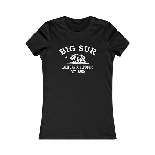
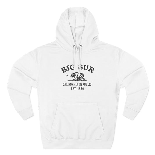
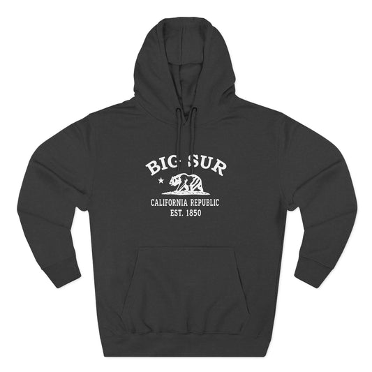
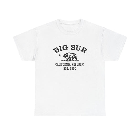
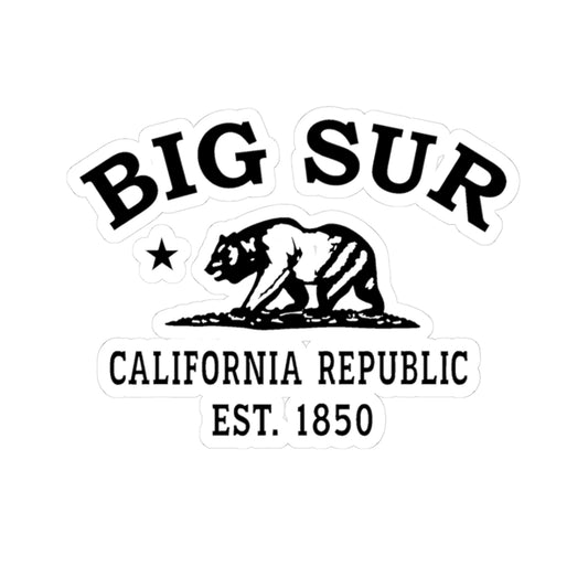
Our Big Sur logo carries the same emblem every Merlin Classics town wears — the California grizzly and star above an "Est. 1850" statehood mark, rendered in hand-printed black and white with a worn, vintage feel. It is the through-line of the whole collection, the mark that ties Big Sur to every other California town we make, from the wine country to the desert. What makes one Big Sur, and another Sonoma, is everything around the emblem: here, the coast road and the bridge, the redwoods and the condor coast. On a tee or a cap it reads less like a souvenir and more like a license plate for a place that never incorporated — California's wildest hundred miles, worn plain.
Today Big Sur is one of the most celebrated coastlines on earth, and a protected one — most of it state park, national forest, and wilderness, with a handful of lodges and the road threaded between. People come for the drive: the Bixby Bridge, the overlooks, McWay Falls, the redwood groves at Pfeiffer, the lighthouse at Point Sur, and the long blue gaps where there is nothing but cliff and water. Our Big Sur designs gather that coast into wearable form — the bridge, the highway, the mountains meeting the sea. Explore the collection and carry a little of California's wild coast with you.

Big Sur California — Travel Guide
Visiting Big Sur California Today
Big Sur is not a town but a coast — roughly ninety miles of Highway 1 between Carmel to the north and San Simeon to the south, in Monterey County. There is no single center; the landmarks are strung along the road, with tiny Big Sur Village and a cluster of state parks near the middle. Late spring through early fall is the prime window, with the clearest skies and the lowest fog. Winter brings gray whales offshore and the real chance of storm closures — this coast highway is prone to landslides, so it is always worth checking the current Caltrans road status before planning a drive.
The Bixby Bridge, Highway 1, McWay Falls & the Big Sur State Parks
For visitors searching for things to do in Big Sur California:
- Stop at the Bixby Creek Bridge — the 1932 open-spandrel concrete arch, 714 feet long and 280 feet high, and the most photographed point on the Big Sur coast.
- See McWay Falls in Julia Pfeiffer Burns State Park — an eighty-foot waterfall that drops straight onto a cove beach below Highway 1.
- Walk among the coast redwoods at Pfeiffer Big Sur State Park, and find the purple-tinted sand at Pfeiffer Beach just down the road.
- Tour Point Sur Lighthouse — the 1889 light station on a volcanic rock dome rising from the sea.
- Hike the bluffs and canyons of Garrapata, Andrew Molera, and Limekiln state parks, and into the Ventana Wilderness in Los Padres National Forest.
- Watch for sea otters in the kelp, gray whales offshore in winter and spring, and California condors riding the updrafts over the cliffs.
- Drive the full Carmel–San Simeon stretch of Highway 1 — the ninety-mile coast road where the Santa Lucia Mountains meet the Pacific.
Why People Visit Big Sur California
Big Sur is the rare place whose entire identity is its landscape. There is no historic plaza, no downtown — there is the road, the bridge, and one of the most dramatic meetings of mountain and ocean anywhere on earth. Visitors come to drive the coast, to photograph the Bixby Bridge, to stand above McWay Falls, and to watch condors over a shoreline that was nearly impossible to reach a century ago. They come because Big Sur is California with almost nothing built on it — only revealed, mile by mile, from a two-lane road.
Wear the History
For deeper reading on the Big Sur, California history described here — the long Esselen presence on the coast and in the Santa Lucia Mountains, the Spanish-era name el país grande del sur, the late-1800s homesteading, lumber-mill, and limekiln era, the 1919–1937 construction of the Carmel–San Simeon Highway, the completion of the Bixby Creek Bridge on October 15, 1932, the 1889 Point Sur Lighthouse, the mid-twentieth-century artists' and writers' colony, and the 1962 founding of the Esalen Institute — it may be useful to consult (1) the Big Sur Historical Society, (2) the Monterey County Free Libraries local-history collections, (3) California State Parks, Monterey District, for Pfeiffer Big Sur, Julia Pfeiffer Burns, Andrew Molera, and Point Sur state park records, (4) the Henry Miller Memorial Library for the Big Sur literary and arts heritage, and (5) the Bancroft Library at the University of California, Berkeley for Spanish- and Mexican-era Monterey-coast records. For current road and access information — important on a coast prone to landslide closures — it may be useful to check (1) Caltrans District 5 for live Highway 1 conditions and (2) the Big Sur Chamber of Commerce road-status updates. For travel and visitor information, it may be useful to contact (1) the Big Sur Chamber of Commerce, (2) the Monterey County Convention & Visitors Bureau, (3) California State Parks for the Big Sur coast parks, (4) the Los Padres National Forest (U.S. Forest Service) for the Ventana Wilderness, and (5) Point Sur State Historic Park for lighthouse tour information.
Shop the Big Sur California collection
View full collection-
Big Sur California Vintage Retro Premium Crewneck Sweatshirt - Black Logo
Regular price $42.00 USDRegular price -
Big Sur California Vintage Retro Premium Crewneck Sweatshirt - White Logo
Regular price $42.00 USDRegular price -
Big Sur California Vintage Retro Womens Fitted Ringspun Cotton Tee - Black Logo
Regular price $28.00 USDRegular price -
-
Big Sur California Vintage Retro Unisex Heavy Cotton Hoodie - Black Logo
Regular price $48.00 USDRegular price -
Big Sur California Vintage Retro Unisex Heavy Cotton Hoodie - White Logo
Regular price $48.00 USDRegular price -
Big Sur California Vintage Retro Unisex Heavy Cotton Tee - Black Logo
Regular price $22.00 USDRegular price -
Big Sur California Vintage Retro Unisex Heavy Cotton Tee - White Logo
Regular price $22.00 USDRegular price -
Big Sur California Vintage Retro Embroidered Cotton Cap - Black Logo
Regular price $32.00 USDRegular price -
Big Sur California Vintage Retro Embroidered Cotton Cap - White Logo
Regular price $32.00 USDRegular price -
Big Sur California Vintage Retro Unisex Embroidered Fleece Jacket - White Logo
Regular price $98.00 USDRegular price -
Big Sur California Vintage Retro Cotton Canvas Tote Bag - Black Logo
Regular price $25.00 USDRegular price -
Big Sur California Vintage Retro Cotton Canvas Tote Bag - White Logo
Regular price $25.00 USDRegular price -
Big Sur California Vintage Retro Back Printed Art Series Cotton Tee - Black Logo
Regular price $32.00 USDRegular price -
Big Sur California Vintage Retro Giclée Print Art Series Poster
Regular price From $38.00 USDRegular price -
Big Sur California Vintage Retro Unisex Embroidered Cotton Polo - Black Logo
Regular price $48.00 USDRegular price -
Big Sur California Vintage Retro Cotton Jersey Baby Bodysuit - Black Logo
Regular price $26.00 USDRegular price -
Big Sur California Vintage Retro Vinyl Sticker - Black Logo
Regular price From $6.00 USDRegular price -
Big Sur California Vintage Retro Ceramic Mug - Black Logo
Regular price From $16.00 USDRegular price -
Big Sur California Vintage Retro Thank You Card Set - Black Logo
Regular price From $25.00 USDRegular price -
Big Sur California Vintage Retro Unisex Cotton Jersey Tank Top - Black Logo
Regular price $28.00 USDRegular price -
Big Sur California Vintage Retro Unisex Heavy Crewneck Sweatshirt - Black Logo
Regular price $38.00 USDRegular price -
Big Sur California Vintage Retro Unisex Heavy Crewneck Sweatshirt - White Logo
Regular price $38.00 USDRegular price