


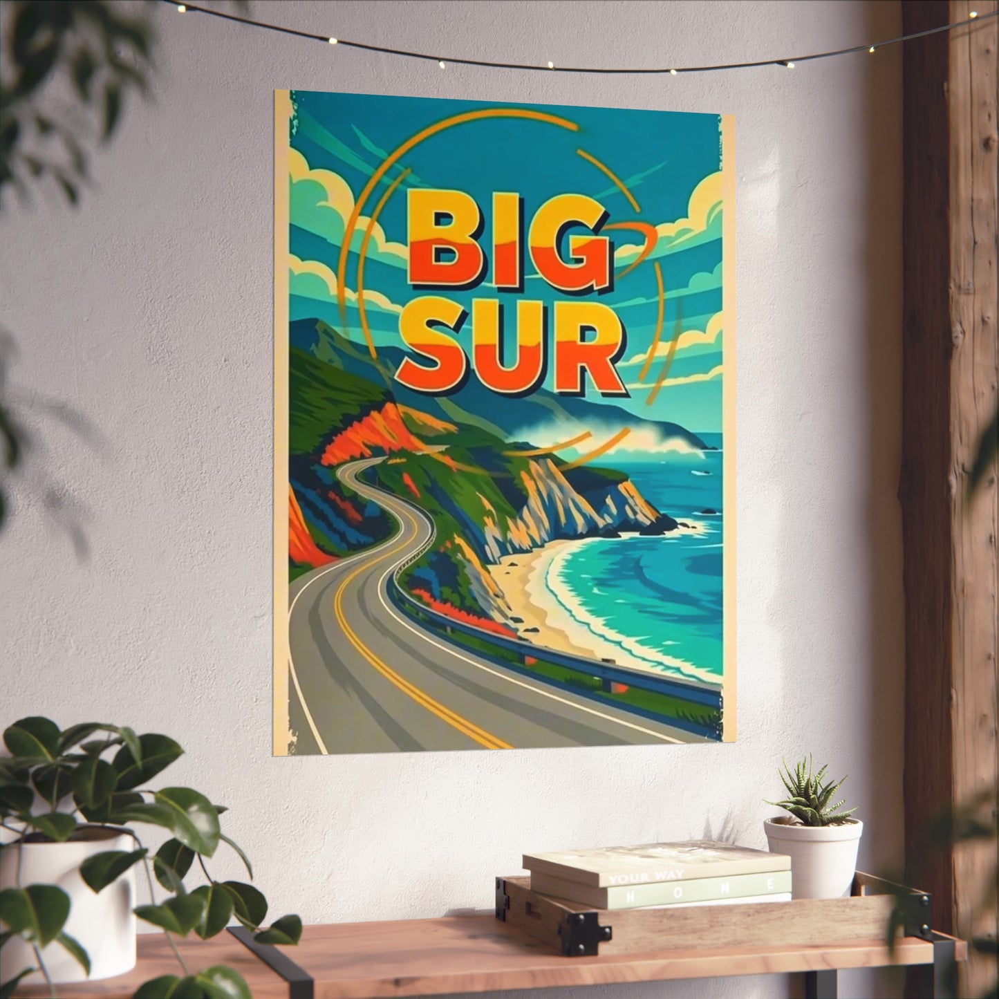
Big Sur takes its name from el país grande del sur — the Spanish “big country of the south,” below the old capital at Monterey.
The road changed everything, slowly. California approved the Carmel–San Simeon Highway in 1919, and crews began cutting the roadbed into the cliffs in 1921 — then ran out of money at the end of 1924, and did not resume until March 1928, this time with convict labor from three San Quentin road camps strung along the coast at Little Sur River, Kirk Creek, and Anderson Creek. The men earned thirty-five cents a day and a day off their sentences per two worked. Crews building from the north and south met on September 18, 1934, and the finished highway opened in June 1937 — eighteen years, start to finish, for ninety miles of road.
Why People Visit Big Sur California
Big Sur is the rare place whose entire identity is its landscape. There is no historic plaza, no downtown — there is the road, the bridge, and one of the most dramatic meetings of mountain and ocean anywhere on earth. Visitors come to drive the coast, to photograph the Bixby Bridge, to stand above McWay Falls, and to watch condors over a shoreline that was nearly impossible to reach a century ago. They come because Big Sur is California with almost nothing built on it — only revealed, mile by mile, from a two-lane road.
