Ketchikan Alaska — Retro Vintage History
Ketchikan is Alaska's First City. The earliest extant incorporated city in the state — chartered August 25, 1900 — and the southernmost major settlement in Alaska, the first port of call cruising north from the Lower 48. The Tongass and Cape Fox Tlingit (the Taant'a Kwáan, the "Sea Lion Tribe") kept a summer fish camp at the mouth of Ketchikan Creek for centuries before the canneries arrived; the town's name is the Tlingit Kitschk-hin, conventionally translated "thundering wings of an eagle." In 1885 the Oregon canning agent Mike Martin scouted the creek and built the first salmon cannery on the spot, and by the early 1930s the town had grown to thirteen canneries packing more than a million cases of salmon a year — the Salmon Capital of the World. A 1903 city ordinance banished the brothels of the wharf district to the east bank of the creek, and the boardwalk known as Creek Street rose on pilings above the spawning salmon, operating as the licensed red-light district from 1903 until 1954 and earning Ketchikan its enduring nickname, the Wickedest City in Alaska; Dolly's House at 24 Creek Street is now a museum, and the Creek Street Historic District was added to the National Register of Historic Places in 2014. Downtown Ketchikan as a whole is a National Historic Landmark District. The town clings to Revillagigedo Island — named by Captain George Vancouver in 1793 — at the southern end of the Inside Passage, half built on pilings over Tongass Narrows and half clinging to forested bluffs, thirty-one miles long and never more than ten blocks wide. Behind it rises the 16.7-million-acre Tongass National Forest, the largest national forest in the United States, headquartered in town; forty miles east lies Misty Fjords National Monument, the 2.29-million-acre wilderness John Muir compared to Yosemite Valley, proclaimed by President Jimmy Carter on December 1, 1978. Beneath the 3,001-foot summit of Deer Mountain, more than one hundred and fifty inches of rain a year earn the town its other name: the Rain Capital of Alaska. Today a million cruise visitors step off here every summer — first stop heading north, and the one most wish they'd given another day.
Wear the HistoryWhat's with the Boardwalk Fog of Ketchikan? The town clings to the water on pilings and planks, so weather arrives right at ankle level, sliding in from the channel and softening everything it touches. Boardwalk Fog is that familiar veil that turns harbor lamps into halos and makes spruce-covered hills vanish one layer at a time. A quick rule is to watch the dock lights: if the glow spreads wide and milky, the mist will thicken; if it stays tight, it will lift with the next breeze. Cold water and warm air do the work, and the wooden walkways keep you close enough to feel it. When the fog drifts through, Ketchikan looks like a quiet shoreline sketch.
Ketchikan was established in 1885 as a salmon canning and trading hub, but the Tlingit people had lived there for centuries, fishing and carving cedar canoes. Its name derives from the Tlingit word Kitschk-hin, often translated as "thundering wings of an eagle." Its founding identity reflects both Indigenous heritage and frontier ambition, where fishing and lumber anchored survival. Ketchikan's roots highlight Alaska's duality: Native continuity and industrial expansion. Its story emphasizes resilience, cultural strength, and adaptability, making Ketchikan a proud emblem of Alaska's maritime endurance and Indigenous continuity.

By the early twentieth century, Ketchikan thrived as "the Salmon Capital of the World," supported by canneries lining its waterfront. Logging camps and pulp mills added industrial strength. The 1950s and 1960s brought suburban neighborhoods, schools, and modest tourism, with ferries and early cruise ships docking. Its timeline reflects Alaska's adaptability: frontier fishing hub evolving into a suburban and tourist community. Ketchikan's mid-century decades highlighted resilience, community pride, and economic continuity. Despite booms and busts, Ketchikan endured, balancing Indigenous heritage, fishing traditions, and suburban optimism, reflecting Alaska's broader resilience in wilderness and industry.
Ketchikan's lore includes Tlingit legends of salmon spirits guiding fishermen and myths of gold hidden in coastal forests. Families recall fishing festivals, parades, and canning lines bustling in the 1950s. Residents remembered wooden boardwalks, logging traditions, and community fairs. Myths of pirates and storms added color to memory. Lore reflects both myth and memory, highlighting resilience, continuity, and heritage. These stories emphasize Ketchikan's dual identity: Native heritage and frontier industry. Fact and legend alike reveal endurance and pride, ensuring traditions remained central, making Ketchikan a cultural anchor within Alaska's layered identity.
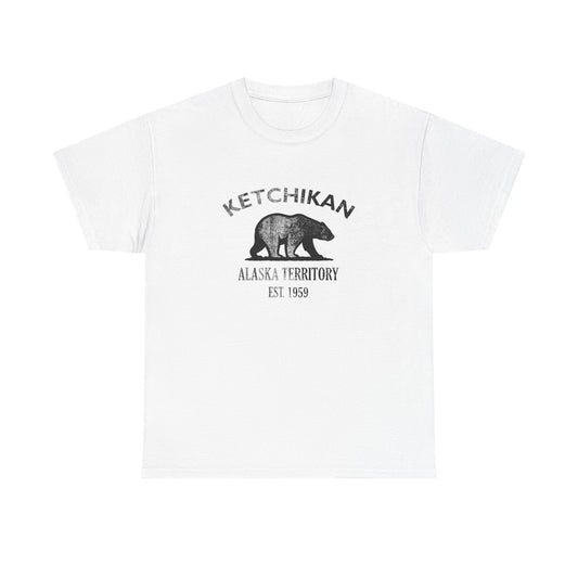
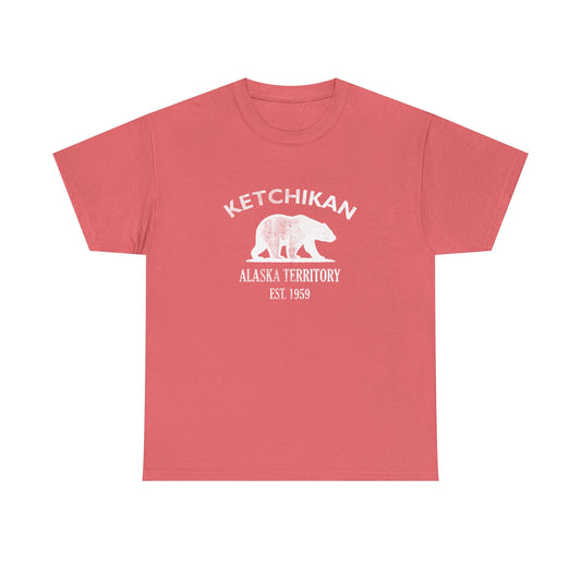
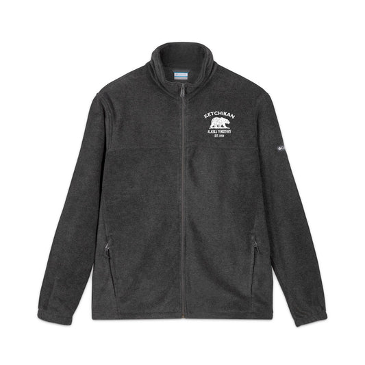
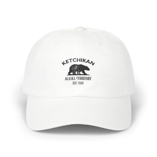
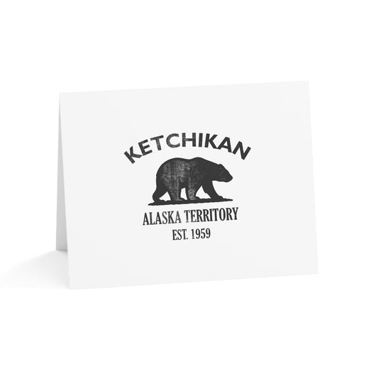
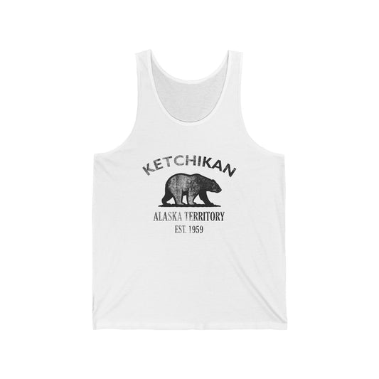
Our Ketchikan retro logo uses Alaska's distressed bear motif, symbolizing wilderness toughness, resilience, and cultural pride. The bear reflects Indigenous reverence and frontier endurance, while "1959" ties the design to Alaska's statehood. Its black-and-white styling is rugged and retro, resembling crate labels, logging brands, and outfitter stamps. The motif bridges Ketchikan's dual identity: Native heritage and salmon capital. On merchandise, it conveys authenticity, endurance, and pride, retro vintage in tone. The bear emblem honors Ketchikan's layered identity, making it a vintage symbol of Alaska's story. Retro in style, it reflects survival, heritage, and authenticity.
Today Ketchikan is celebrated as a fishing and tourism hub, proud of its Native traditions and frontier endurance. Its story reflects Indigenous heritage, frontier grit, and modern adaptation. Our Ketchikan designs embody this layered identity, pairing the bear motif with vintage styling. They invite you to explore the Ketchikan collection and carry forward a reminder of Alaska's resilience. Retro in tone, the logo reflects toughness and authenticity. Ketchikan's emblem honors both heritage and modern growth, making it a vintage symbol of Alaska's identity. Explore the collection and share in Ketchikan's story of resilience and pride.

Ketchikan Alaska — Travel Guide
Visiting Ketchikan Alaska Today
Ketchikan sits on the western shore of Revillagigedo Island in Southeast Alaska's Inside Passage, 679 miles north of Seattle and 235 miles south of Juneau. The town is the first port of call on northbound Alaska cruises and the southernmost major settlement in the state, reachable only by boat or by air. The cruise season runs May through September; April and October are quieter; November through March is the off-season. Expect rain — more than 150 inches a year, with the wettest months in fall and winter. Bring layers, waterproof shoes, and a sense of humor about the weather.
Creek Street, Totems, Tongass Rainforest, and Misty Fjords
For visitors searching for things to do in Ketchikan Alaska:
- Walk Creek Street — the boardwalk on pilings on the east bank of Ketchikan Creek, the 1903-1954 licensed red-light district and now a National Register historic district. Watch for salmon spawning in the creek below in late summer. Stop at Dolly's House Museum at 24 Creek Street for the lived-in version of the story, and walk the Stedman Bridge and Married Man's Trail for the full Creek Street loop.
- Visit the Totem Heritage Center on Deermount Street — seventeen original 19th-century totem poles rescued from abandoned village sites, displayed in a semi-spiritual indoor setting with Sitka-spruce surroundings.
- Drive ten miles north to Totem Bight State Historical Park — eleven acres of restored village site with a traditional clan house and CCC-era recarved totem poles along a rainforest trail to the shore.
- Stop at Saxman Native Village just south of town — one of the world's largest collections of standing totem poles, with an active carving shed. Visit respectfully; this is a working Native cultural community.
- Stop at Potlatch Park north of town — additional totem-park grounds, longhouse, and historical exhibits along the Tongass Highway.
- Take a flightseeing or boat tour to Misty Fjords National Monument — the 2.29-million-acre Carter-proclamation wilderness 40 miles east of Ketchikan, with 3,000-foot granite walls, glacial fjords, and the volcanic New Eddystone Rock that Captain Vancouver named in 1793. John Muir compared it to Yosemite Valley.
- Stroll the Waterfront Promenade along Tongass Narrows — whale-tail benches, historical markers, and the working harbor at the south end of the Inside Passage.
- Visit the Tongass Historical Museum on Dock Street — the city's salmon, timber, and town-growth interpretive collection.
- Stop at the Southeast Alaska Discovery Center — the Forest Service interpretive center for the Tongass National Forest and Misty Fjords National Monument.
- Hike Deer Mountain — the 3,001-foot peak immediately east of downtown, the signature backdrop of Ketchikan. The summit trail is steep but day-hikeable in good weather.
- Take the ferry across Tongass Narrows to Ketchikan International Airport on Gravina Island — the airport-ferry crossing is among the most distinctive in the country.
- Watch the salmon run up Ketchikan Creek through downtown in August and September — one of the easiest wildlife sights in North America to see from a city sidewalk.
Why People Visit Ketchikan Alaska
Ketchikan offers Alaska's First City and the earliest extant incorporated city status (August 25, 1900), the Salmon Capital of the World credential rooted in the Ketchikan Creek cannery era of the early twentieth century, the National Historic Landmark District downtown with its Creek Street boardwalk-on-pilings red-light history of 1903-1954, the world's largest collection of standing totem poles across four distinct totem destinations, the Tongass National Forest rainforest backdrop (the largest national forest in the United States, headquartered in town), Misty Fjords National Monument 40 miles east, the 3,001-foot Deer Mountain backdrop, the Tongass Tlingit cultural continuity along Ketchikan Creek, and the rain-soaked Inside Passage identity that makes the town look like nothing else in America. It is Alaska's First City — and the first port of call for more than a million cruise visitors a summer heading north from the Lower 48.
Wear the History
For deeper reading on Ketchikan, Alaska history described here — the centuries of Tongass and Cape Fox Tlingit (Taant'a Kwáan) summer-fish-camp life at Ketchikan Creek before contact, the Kitschk-hin name etymology conventionally translated "thundering wings of an eagle," the 1793 Captain George Vancouver naming of Revillagigedo Island and Behm Canal and New Eddystone Rock, the 1883 first fish saltery in the Ketchikan area, the 1885 Mike Martin founding of the first Ketchikan Creek salmon cannery, the late-1880s Clark & Martin saltery and general store partnership, the 1896-1899 Yukon Gold Rush prospecting boom in the Ketchikan region, the August 25 1900 incorporation as the earliest extant incorporated city in Alaska, the 1903 city ordinance establishing Creek Street as the licensed red-light district on the east bank of Ketchikan Creek, the 1903-1954 era of the Creek Street brothels, the 1917 Black Mary Thomas acquisition of The Star at 5 Creek Street, the 1919 Dolly Arthur opening of 24 Creek Street, the early-1930s peak of the Salmon Capital era with thirteen canneries packing more than a million cases of salmon a year, the 1954 closure of the Creek Street brothels and the same-year opening of the Ketchikan Pulp Company mill at Ward Cove, the 1959 Alaska statehood, the 1976 establishment of the Totem Heritage Center, the December 1 1978 Carter proclamation of Misty Fjords National Monument under the Antiquities Act, the December 2 1980 statutory establishment of Misty Fjords under ANILCA, the 1993 National Register listing of The Star, the 1997 closure of the Ketchikan Pulp Company mill at Ward Cove ending the pulp era, the 2014 National Register listing of the Creek Street Historic District, and the modern cruise-tourism era with more than a million summer visitors a year stepping off the first port of call north from the Lower 48 — it may be useful to consult (1) the Tongass Historical Museum on Dock Street for the city's salmon, timber, and town-growth interpretive collection and the Sanborn fire insurance map runs for the Ketchikan waterfront, (2) the Ketchikan Museums Department city archives for the 1900-forward municipal records and the Creek Street Historic District documentation, (3) the Alaska State Library Historical Collections in Juneau for the territorial-era Ketchikan records, the Alaska Historical Society Journal article runs on the panhandle communities, and the Daily News and Ketchikan Chronicle microfilm runs, (4) the Alaska State Archives in Juneau for the territorial municipal records, the 1900 incorporation papers, and the cannery-era industry records, (5) the University of Alaska Southeast Egan Library in Juneau for the Southeast Alaska academic literature, the Tlingit-language Lingít Aaní scholarship, and the panhandle-economy studies, (6) the Sealaska Heritage Institute in Juneau for the Tongass and Cape Fox Tlingit, Haida, and Tsimshian cultural records of Southeast Alaska, (7) the Totem Heritage Center on Deermount Street for the 19th-century totem-pole conservation archive and the Tongass-area village-site documentation, (8) the U.S. Forest Service Tongass National Forest headquarters in Ketchikan and the Southeast Alaska Discovery Center for the 16.7-million-acre forest records and the Misty Fjords National Monument 1978-forward documentation, (9) the Advisory Council on Historic Preservation files for the Ketchikan National Historic Landmark District designation, and (10) the National Park Service Alaska Regional Office for the ANILCA-era federal-land records. For deeper local Ketchikan research, it may be useful to reach out to (1) the Tongass Historical Museum, (2) the Ketchikan Museums Department, (3) the Ketchikan Public Library local history room, (4) the Sealaska Heritage Institute, (5) the Alaska State Library Historical Collections, (6) the Alaska State Archives, (7) the Totem Heritage Center, and (8) the U.S. Forest Service Tongass National Forest headquarters. For travel and visitor information in Ketchikan, it may be useful to contact (1) the Ketchikan Visitors Bureau, (2) the Ketchikan Chamber of Commerce, (3) the U.S. Forest Service Tongass National Forest headquarters and the Southeast Alaska Discovery Center for Misty Fjords National Monument and Tongass-area public-lands information, (4) the Alaska Department of Natural Resources Division of Parks and Outdoor Recreation for Totem Bight State Historical Park visitor information, (5) the City of Ketchikan Parks and Recreation Department for Deer Mountain trail and Waterfront Promenade information, (6) the Alaska Marine Highway System for ferry-route information across the Inside Passage, and (7) the Ketchikan International Airport on Gravina Island for jet-service information. Readers interested in the broader cultural reception of Ketchikan and its First City identity — the centuries of Tlingit summer-fish-camp life at Kitschk-hin, the 1793 Vancouver naming of Revillagigedo Island, the 1885 Mike Martin cannery founding, the August 25 1900 incorporation as the earliest extant incorporated city in Alaska, the 1903-1954 Creek Street red-light era, the Salmon Capital of the World cannery decades, the Rain Capital identity, the Wickedest City in Alaska nickname, the 1954-1997 Ketchikan Pulp Company mill at Ward Cove, the 1978 Misty Fjords proclamation, the 2014 Creek Street Historic District listing, and the modern cruise era — will find that the named places (Ketchikan Creek, Revillagigedo Island, Tongass Narrows, Deer Mountain, Creek Street, Dolly's House, The Star, Stedman Bridge, Married Man's Trail, Ward Cove, Gravina Island, the Tongass National Forest, Misty Fjords National Monument, Behm Canal, Rudyerd Bay, Punchbowl Cove, New Eddystone Rock, the Alexander Archipelago, the Inside Passage, the Totem Heritage Center, Totem Bight State Historical Park, Saxman Totem Park, Potlatch Park, the Tongass Historical Museum, and the Southeast Alaska Discovery Center), the named historical figures (Mike Martin, George Clark, Captain George Vancouver, Chief Kyan, Dolly Arthur, Black Mary Thomas), and the named historical moments (the Tlingit Kitschk-hin summer fish camp, the 1793 Vancouver survey, the 1883 first saltery, the 1885 first cannery, the 1900 incorporation, the 1903 Creek Street ordinance, the 1903-1954 red-light era, the early-1930s thirteen-cannery peak, the 1954 brothel closures and pulp-mill opening, the 1959 Alaska statehood, the 1976 Totem Heritage Center establishment, the 1978 Misty Fjords proclamation, the 1993 The Star listing, the 1997 pulp-mill closure, the 2014 Creek Street Historic District listing, and the modern cruise-tourism era) recur across all of these traditions as a shared cultural grammar of foundational Ketchikan history grounded specifically on Revillagigedo Island at the southern end of the Inside Passage beneath the largest national forest in the United States.
Shop the Ketchikan Alaska collection
View full collection-
Ketchikan Alaska Vintage Retro Premium Crewneck Sweatshirt - Black Logo
Regular price $42.00 USDRegular price -
Ketchikan Alaska Vintage Retro Premium Crewneck Sweatshirt - White Logo
Regular price $42.00 USDRegular price -
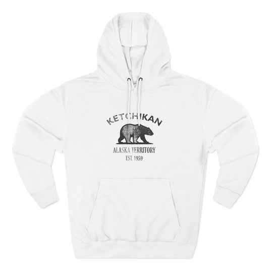
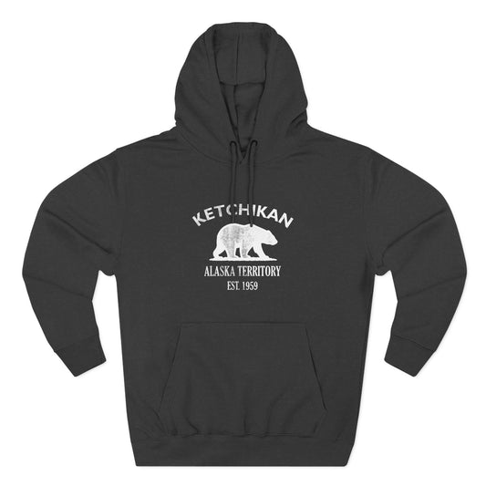
Ketchikan Alaska Vintage Retro Unisex Heavy Cotton Hoodie - Black Logo
Regular price $48.00 USDRegular price -
Ketchikan Alaska Vintage Retro Unisex Heavy Cotton Hoodie - White Logo
Regular price $48.00 USDRegular price -
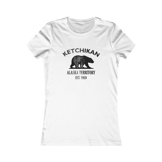
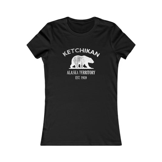
Ketchikan Alaska Vintage Retro Womens Fitted Ringspun Cotton Tee - Black Logo
Regular price $28.00 USDRegular price -
-
Ketchikan Alaska Vintage Retro Unisex Heavy Cotton Tee - Black Logo
Regular price $22.00 USDRegular price -
Ketchikan Alaska Vintage Retro Unisex Heavy Cotton Tee - White Logo
Regular price $22.00 USDRegular price -
Ketchikan Alaska Vintage Retro Unisex Embroidered Fleece Jacket - White Logo
Regular price $98.00 USDRegular price -
Ketchikan Alaska Vintage Retro Embroidered Cotton Cap - Black Logo
Regular price $32.00 USDRegular price -
Ketchikan Alaska Vintage Retro Embroidered Cotton Cap - White Logo
Regular price $32.00 USDRegular price -
Ketchikan Alaska Vintage Retro Back Printed Art Series Cotton Tee - Black Logo
Regular price $32.00 USDRegular price -
Ketchikan Alaska Vintage Retro Giclée Print Art Series Poster
Regular price From $38.00 USDRegular price -
Ketchikan Alaska Vintage Retro Cotton Canvas Tote Bag - Black Logo
Regular price $25.00 USDRegular price -
Ketchikan Alaska Vintage Retro Cotton Canvas Tote Bag - White Logo
Regular price $25.00 USDRegular price -
Ketchikan Alaska Vintage Retro Unisex Heavy Crewneck Sweatshirt - Black Logo
Regular price $38.00 USDRegular price -
Ketchikan Alaska Vintage Retro Unisex Heavy Crewneck Sweatshirt - White Logo
Regular price $38.00 USDRegular price -
Ketchikan Alaska Vintage Retro Unisex Embroidered Cotton Polo - Black Logo
Regular price $48.00 USDRegular price -
Ketchikan Alaska Vintage Retro Vinyl Sticker - Black Logo
Regular price From $6.00 USDRegular price -
Ketchikan Alaska Vintage Retro Ceramic Mug - Black Logo
Regular price From $16.00 USDRegular price -
Ketchikan Alaska Vintage Retro Thank You Card Set - Black Logo
Regular price From $25.00 USDRegular price -
Ketchikan Alaska Vintage Retro Cotton Jersey Baby Bodysuit - Black Logo
Regular price $26.00 USDRegular price -
Ketchikan Alaska Vintage Retro Unisex Cotton Jersey Tank Top - Black Logo
Regular price $28.00 USDRegular price