Amarillo Texas — Retro Vintage History
They named it yellow. When the railroad reached the high plains of the Texas Panhandle in 1887, the cattle town that sprang up took the Spanish word for yellow — amarillo — for the wildflowers, or the soil. The Yellow City grew into one of the busiest cattle-shipping points on earth, then a marquee stop on Route 66 halfway between Chicago and the coast, with the second-largest canyon in the country cut into the plains just to the south. Cattle, canyon, and the Mother Road — this is Amarillo, and this page tells its story.
Wear the HistoryThis stretch of the Llano Estacado — the high, flat, treeless caprock that the Spanish called the "staked plains" — was Comanche, Kiowa, and Apache country, crossed by Coronado's expedition as early as 1541 in search of the cities of Cibola. For centuries it was open range: bison herds, then the great cattle drives. The town itself begins in 1887, when the railroad arrived and surveyors laid out a settlement near Amarillo Lake. It was called Oneida at first, then renamed; two years later the rancher Henry B. Sanborn — the "Father of Amarillo" — moved the whole town to higher ground, where it stuck.
What's with the yellow? The name throws people. Amarillo is simply the Spanish word for yellow — and a city of 200,000 on the Texas plains carries it for a reason no one can pin down for certain. The usual story is the yellow wildflowers that covered the prairie, or the yellowish clay of the creek banks near Amarillo Lake; some say the early railroad-camp houses were painted yellow to match. Whatever the source, it stuck, and Amarillo has been "the Yellow City" ever since — a Spanish color word for a hard, sunlit, high-plains Texas town.

The railroad made Amarillo a cattle town, and by 1890 it was one of the busiest cattle-shipping points in the world — longhorns and Panhandle herds moving out by the trainload. That ranching heritage still runs deep: Amarillo is the home of the American Quarter Horse Association and its Hall of Fame, the registry of the quintessential Western working horse. Then, in 1926, came the road that made the city famous a second time. Route 66 — the Mother Road — ran straight through Amarillo, roughly halfway between Chicago and Santa Monica, and the Historic Sixth Street District filled with the diners, motels, and neon that still say "road trip" to the whole country.
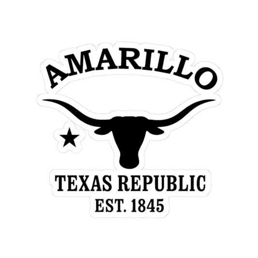
Our Amarillo logo carries a Texas longhorn — the cattle breed that built the open range — and a Lone Star over "1845," the year of statehood and the shared emblem of every Merlin Classics Texas place. Printed black-and-white with the worn look of a branding iron or an old highway shield, the longhorn and star read as Texas in shorthand: cattle country, the Lone Star, the wide Panhandle horizon. What makes this one Amarillo is the place behind it — the Yellow City, the cattle trains, the Quarter-Horse country, and the Mother Road running through the middle of it all.
Today Amarillo is the capital of the Texas Panhandle — a high-plains city of cattle, energy, the self-styled "Helium Capital of the World," and a steady stream of Route 66 travelers passing through on the way across the country. Just to the south, Palo Duro Canyon opens 800 feet into the plains, the "Grand Canyon of Texas." Our Amarillo designs gather that identity into wearable form — the Yellow City, the longhorn-and-star, the Quarter Horse, the Mother Road. From the cattle sidings to the canyon rim — wear a little of the high-plains Panhandle.

Amarillo Texas — Travel Guide
Visiting Amarillo Texas Today
Amarillo stands on the high plains at the heart of the Texas Panhandle, where open skies meet Western heritage. Known for its Route 66 history and the nearby Palo Duro Canyon, it pairs cattle-country tradition with wide-open high-plains adventure.
Route 66, the Canyon & Western Heritage in Amarillo Texas
For visitors searching for things to do in Amarillo, Texas:
- Drive a stretch of historic Route 66 through the Sixth Street Historic District, with vintage storefronts, antiques, and diners.
- Visit Palo Duro Canyon State Park, the "Grand Canyon of Texas" and the second-largest canyon in the country.
- Tour the American Quarter Horse Hall of Fame and Museum, honoring the West's working horse.
- See Cadillac Ranch, the famous row of nose-down Cadillacs along Interstate 40.
- Stop at the Big Texan Steak Ranch, a Route 66 icon of Panhandle cattle country.
Why People Visit Amarillo Texas
Amarillo draws visitors with a mix of Western heritage, natural wonder, and Mother Road Americana. Travelers find it both a marquee stop along historic Route 66 and the gateway to Palo Duro Canyon, with deep cattle-ranching and Quarter-Horse traditions and the wide, plainspoken character of the high plains. It is proud, practical, and unmistakably Texan.
Wear the History
For deeper reading on the Amarillo, Texas history described here — the Comanche, Kiowa, and Apache heritage of the Llano Estacado, Coronado's 1541 crossing, the 1887 railroad founding and the Yellow City name, Henry B. Sanborn and the 1889 relocation, the 1890 cattle-shipping hub, the 1926 arrival of Route 66, the American Quarter Horse heritage, and the Helium Capital — it may be useful to consult (1) the Panhandle-Plains Historical Museum (Canyon, Texas) and the local historical society, (2) the Amarillo Public Library local-history collection, (3) the Texas State Library and Archives Commission and the Texas Historical Commission, (4) the City of Amarillo and Potter County clerk's records offices, and (5) the West Texas A&M University libraries. For travel and visitor information, it may be useful to contact (1) Visit Amarillo (the Amarillo Convention and Visitors Council), (2) Travel Texas, (3) Palo Duro Canyon State Park and Texas State Parks, (4) the City of Amarillo Parks and Recreation Department, and (5) the regional visitor and airport information desks.
Shop the Amarillo Texas collection
View full collection-
Amarillo Texas Vintage Retro Back Printed Art Series Cotton Tee - Black Logo
Regular price $32.00 USDRegular price -
Amarillo Texas Vintage Retro Giclée Print Art Series Poster
Regular price From $38.00 USDRegular price -
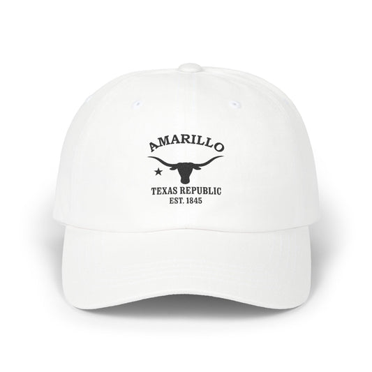
Amarillo Texas Vintage Retro Embroidered Cotton Cap - Black Logo
Regular price $32.00 USDRegular price -
Horse at Low Tide - Tide & Light Series Giclée Unframed Art Print
Regular price From $34.00 USDRegular price -
Shoreline Trio - Tide & Light Series Framed Art Print
Regular price From $96.00 USDRegular price -
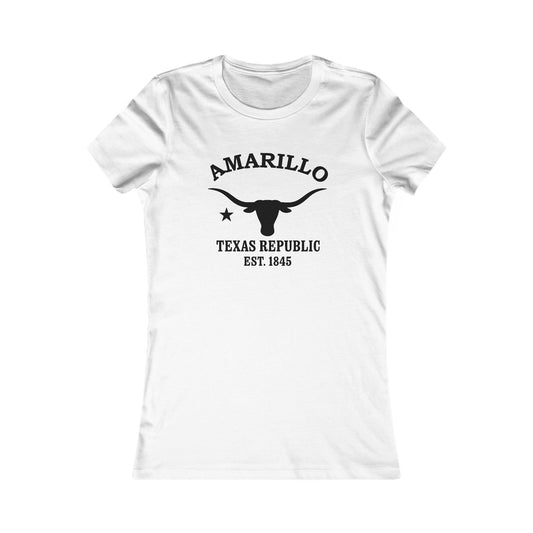
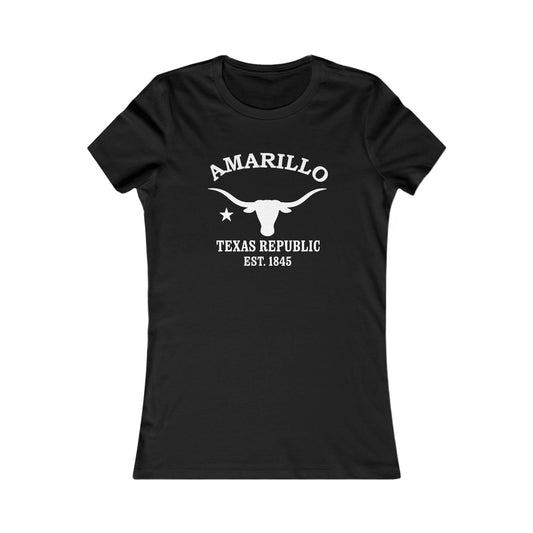
Amarillo Texas Vintage Retro Womens Fitted Ringspun Cotton Tee - Black Logo
Regular price $28.00 USDRegular price -
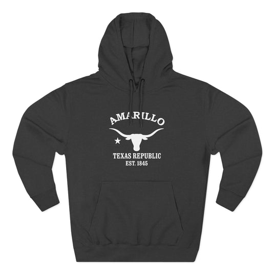
Amarillo Texas Vintage Retro Unisex Heavy Cotton Hoodie - White Logo
Regular price $48.00 USDRegular price -
Mare and Foal - Tide & Light Series Framed Art Print
Regular price From $96.00 USDRegular price -
Horse at Low Tide - Tide & Light Series Framed Art Print
Regular price From $96.00 USDRegular price -
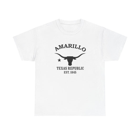
Amarillo Texas Vintage Retro Unisex Heavy Cotton Tee - Black Logo
Regular price $22.00 USDRegular price -
-
Shoreline Trio II - Tide & Light Series Giclée Unframed Art Print
Regular price From $34.00 USDRegular price -
Shoreline Trio II - Tide & Light Series Framed Art Print
Regular price From $96.00 USDRegular price -
Amarillo Texas Vintage Retro Unisex Heavy Cotton Hoodie - Black Logo
Regular price $48.00 USDRegular price -
Three Dogs, Still Water - Tide & Light Series Giclée Unframed Art Print
Regular price From $44.00 USDRegular price -
Boy and Hound - Tide & Light Series Framed Art Print
Regular price From $96.00 USDRegular price -
Amarillo Texas Vintage Retro Vinyl Sticker - Black Logo
Regular price From $6.00 USDRegular price -
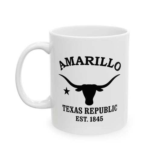
Amarillo Texas Vintage Retro Ceramic Mug - Black Logo
Regular price From $16.00 USDRegular price -
Shoreline Conversation - Tide & Light Series Giclée Unframed Art Print
Regular price From $34.00 USDRegular price -
Kiss for the Hound - Tide & Light Series Framed Art Print
Regular price From $96.00 USDRegular price -
Shoreline Trio - Tide & Light Series Giclée Unframed Art Print
Regular price From $34.00 USDRegular price -
Outstretched Hand - Tide & Light Series Framed Art Print
Regular price From $96.00 USDRegular price -
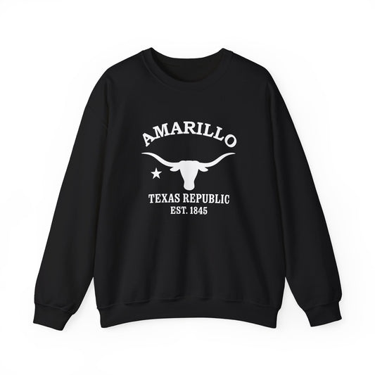
Amarillo Texas Vintage Retro Unisex Heavy Crewneck Sweatshirt - White Logo
Regular price $38.00 USDRegular price