








The geography is the label come to life: a valley thirty miles long and one to five wide, the Mayacamas Mountains on the west and the Vaca range on the east, Highway 29 — the old Wine Road — running up the valley floor with the Silverado Trail as its quieter twin on the eastern benchland. Mount St. Helena closes the head of the valley at 4,343 feet, Lake Berryessa fills the high country to the east, and on many mornings a low fog slides up from San Pablo Bay and settles between the vine rows until the sun burns it through.
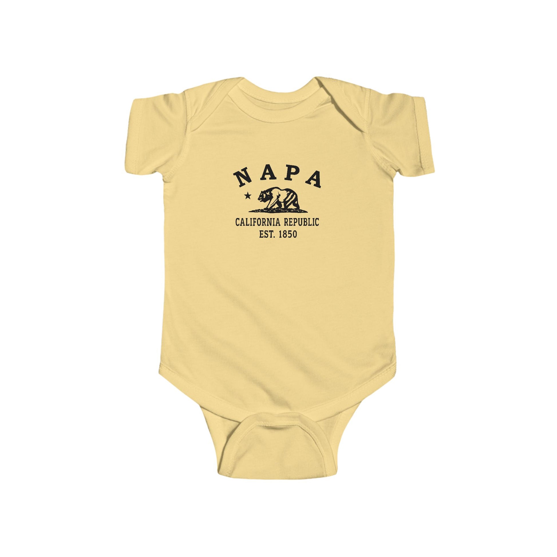
So Napa gathers a Patwin name, a river landing laid out in 1847, the county’s first wine cellar of 1859, vines that outlasted blight and Prohibition alike, and one Paris afternoon in 1976 that rearranged the wine world — and our Napa designs pour all of it into wearable form. Whether Napa is your hometown, your valley, your harvest season, or the place you learned what a morning fog can do to a row of vines, wear the history. Pressing grapes since 1861.
Why People Visit Napa California
- Drive Highway 29, the historic Wine Road that runs north out of the city of Napa up the western edge of the valley past the founding-era estates between Yountville and St. Helena.
- Drive the Silverado Trail, the quieter parallel route a few miles up the eastern hillside, with the long-view back across the valley floor toward the Mayacamas.
- Drive past the 1861 stone winery on Highway 29 in St. Helena — founded by Charles Krug and among the oldest commercial wineries in California, still pressing grapes more than a century and a half later.
- Browse the Oxbow district on the downtown riverbend — the market halls, oyster bars, and coffee roasters of Napa’s eating-city era, a few steps from the river walk.
- See the exterior of the 1884 Rhine House on Highway 29 in St. Helena — the German-style mansion that is one of the valley's signature architectural landmarks.
- See the Napa Valley Opera House on Main Street in downtown Napa — the restored 1879 performing-arts landmark in the heart of the riverfront district.
- Walk the Napa River Walk and the downtown riverfront — promenades, plazas, and bridges along the river through the historic heart of the city.
- Hike Skyline Wilderness Park on the southeastern edge of the city — 850 acres of oak woodlands, lake loops, and hilltop views back across the valley.
- Drive north to Calistoga at the head of the valley for the mineral hot springs, the geyser country, and the long view south down the length of Napa Valley.
- Drive northeast to Lake Berryessa for the boating, the fishing, and the high-country views east of the valley floor.
- Climb (or drive partway up) Mount St. Helena, the 4,343-foot peak that closes the head of the valley — Robert Louis Stevenson State Park preserves the trail and the slopes where Stevenson honeymooned in 1880.
- Plan a visit during harvest season (August through October) for the crush, the cellar work, and the late-October press — the peak of the valley's working rhythm.
