


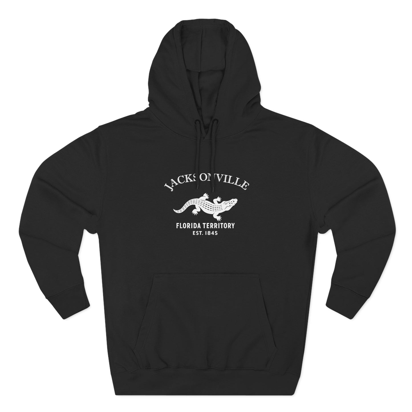
Our Jacksonville design carries the Florida alligator beneath an arched JACKSONVILLE and the line Florida Territory · Est. 1845, printed in a black, woodcut-style mark. The alligator is old Florida itself — the river-and-swamp country the city grew out of — and the 1845 date marks Florida statehood. It is a River City emblem: not the tourist Florida of postcards, but the lived-in city on the river that runs north.
The Navy settled the river in the 1940s — Naval Air Station Jacksonville in 1940, Naval Station Mayport at the river’s mouth in 1942 — and shipyards worked around the clock through the war; the carriers and the naval air overhead have been part of the city’s weather ever since. In 1968 Jacksonville and Duval County consolidated into a single government, and the city woke up the largest by land area in the contiguous United States: room enough inside the limits for the Atlantic beaches — off which the North Atlantic right whale, the most endangered of the great whales, comes to calve each winter — 80,000 acres of parks, the centuries-old Treaty Oak on the Southbank, Friendship Fountain facing the skyline, and the cable-stayed sweep of the Dames Point Bridge downriver.
Why People Visit Jacksonville Florida
Jacksonville offers a Prairie School downtown no one expects in the South, a great river running the wrong way to the sea, beaches without the resort crowds, live oaks and marsh preserves, shrimp boats and naval carriers sharing one river mouth, and neighborhoods that kept their bones. Visitors come for the beaches, the river, the architecture, the parks, and the easy room of the biggest city in America. On the St. Johns since 1822.