
Two centuries on, the shoreline gave Connecticut a different kind of landmark: Sherwood Island, where the state's first land purchases in 1914 created what would become, after a long public battle, Connecticut's first state park — 238 acres of beach, salt marsh, and woodland on the Sound, right in the Greens Farms section of Westport. A quiet shoreline enclave with three and a half centuries behind it, Greens Farms still holds the promise of the name the Pequot gave it.
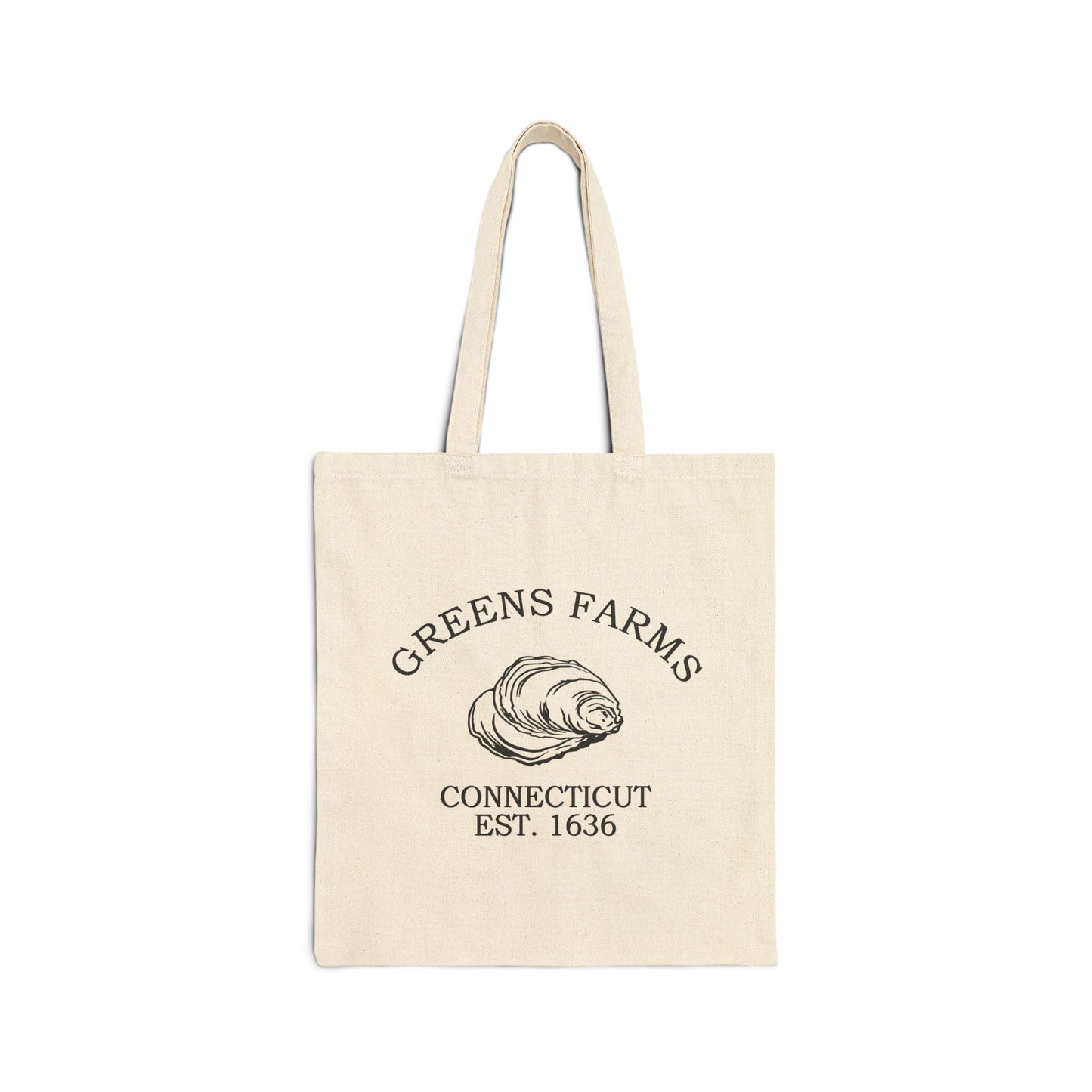
Our Greens Farms retro logo features the oyster shell, a fitting emblem for a shoreline that has lived by the salt marsh and the Sound since 1648. The oyster shell speaks to abundance, maritime heritage, and the fertile coast the Bankside Farmers settled. Rendered in black-and-white with the look of vintage crate labels and old oyster signs, the motif carries both the reverence behind the name Machamux and the practical resilience of colonial New England. On a tee, a cap, or a wall print, it reads as a quiet badge of a singular shoreline — grounded, historic, and rooted in Connecticut pride.
Why People Visit Greens Farms Connecticut
- Explore Sherwood Island State Park, Connecticut's first state park — 238 acres of beach, salt marsh, and woodland on Long Island Sound, with swimming, fishing, and birdwatching.
- Find the Machamux Boulder on the old Common at Green's Farms Road near Morningside Drive, the monument marking the original 1648 settlement.
- See the Green's Farms Congregational Church, the parish society's 1853 meeting house on Hillandale Road carrying a continuous history since 1711.
- Drive Beachside Avenue past historic shoreline estates, with the Sound on one side and salt marsh on the other.
- Walk the quiet shoreline lanes around Frost Point — named for Bankside Farmer Daniel Frost — and the marsh edges of Sasco Creek.
- Catch the Metro-North New Haven Line at Greens Farms Station for a commuter-rail glimpse of the neighborhood's daily rhythm between New York and the Connecticut shoreline.
![]()