Molokaʻi Hawaii — Retro Vintage History
What's with the Friendly Isle? Of all the Hawaiian islands, Molokaʻi is the one that stayed itself. There are no traffic lights to hurry you, and by a kind of island agreement nothing is built taller than a coconut palm — no high-rises, no resort strips, no neon. It is the most Hawaiian of the islands, where the old ways are not a performance for visitors but simply how life is lived, and where the community has long and deliberately kept large-scale development, and the crowds that follow it, at arm's length. "Friendly Isle" is the gentle, tourist-era nickname; the older name, Molokaʻi nui a Hina — "great Molokaʻi, child of the goddess Hina" — runs deeper, as does the island's old reputation in legend as a seat of powerful prayer. Friendly, yes — but on its own terms.
Wear the HistoryMolokaʻi's story begins more than a thousand years ago in Hālawa Valley, on the island's far east end — one of the oldest known Hawaiian settlements, a green amphitheater of taro terraces and twin waterfalls where Native Hawaiians first put down roots. Along the gentler south shore they built something extraordinary: a chain of some sixty fishponds, loko iʻa, walled off from the sea with stone so that fish could be raised and harvested year-round. Seven and eight centuries old, they remain among the most sophisticated aquaculture ever devised in the Pacific. Taro in the valleys, fish in the ponds, the reef and the upland forest — Molokaʻi fed itself well, and the knowledge of how to do it has never entirely left the island.
It is also, by long tradition, the birthplace of hula. At Kaʻana, in the island's west, Hawaiians hold that the goddess Laka first danced and first taught the sacred art, and from Molokaʻi hula spread to the rest of the archipelago. Each year practitioners return to honor that origin, and the island guards the tradition as something living and sacred rather than a show. To dance, to chant, to carry the old stories forward — on Molokaʻi these are not relics but daily inheritance, named here with respect.

The land matches the depth of the culture. Molokaʻi is the fifth-largest Hawaiian island, roughly thirty-eight miles long, set between Oʻahu and Maui. Its windward north coast rises into the tallest sea cliffs in the world — a wall of green plunging some three thousand six hundred feet and more straight to the Pacific, recorded in the Guinness book and sheltering deep, near-roadless valleys behind it. The dry west end runs the other way entirely, into the soft pale sand of Papohaku, one of Hawaiʻi's largest beaches, often empty for its full length. Lush to windward, dry to leeward, rural everywhere: this is the closest thing left to old Hawaiʻi.
The island carried its Hawaiian character straight through the upheavals of the nineteenth and twentieth centuries. In the 1860s King Kamehameha V kept a retreat near Kaunakakai and planted the royal Kapuaiwa Coconut Grove — a thousand palms, one for each warrior of his guard — that still shades the south shore. Cattle ranching and, later, pineapple plantations reshaped the plains, but Molokaʻi never urbanized. And in 1922 it became the birthplace of something else: Hawaiʻi's very first Hawaiian Home Lands homestead, at Kalamaʻula, where Native Hawaiian families returned to the soil under Prince Kūhiō's homesteading act. To this day Molokaʻi has one of the largest Hawaiian homestead communities in the islands.
Below the great north cliffs lies a place of profound and solemn memory: the isolated Kalaupapa Peninsula. From 1866, under Kingdom law, people diagnosed with Hansen's disease were exiled there, cut off by the sea and the cliffs; over the following century more than eight thousand, most of them Native Hawaiians, were taken from their families and sent to Kalaupapa. In 1873 a Belgian priest, Father Damien, came to live among them and care for them, and he remained until the disease claimed his own life in 1889; Mother Marianne Cope carried the work on. Both were later canonized. Forced isolation ended in 1969, and a few residents chose to stay in the only home they had known. Today Kalaupapa is a national historical park and a living memorial — a story held with reverence, never for sale.

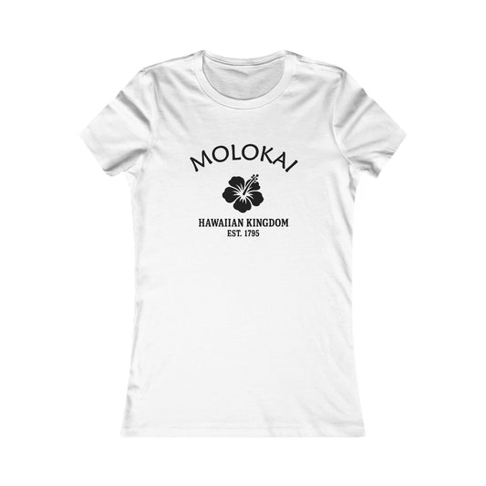
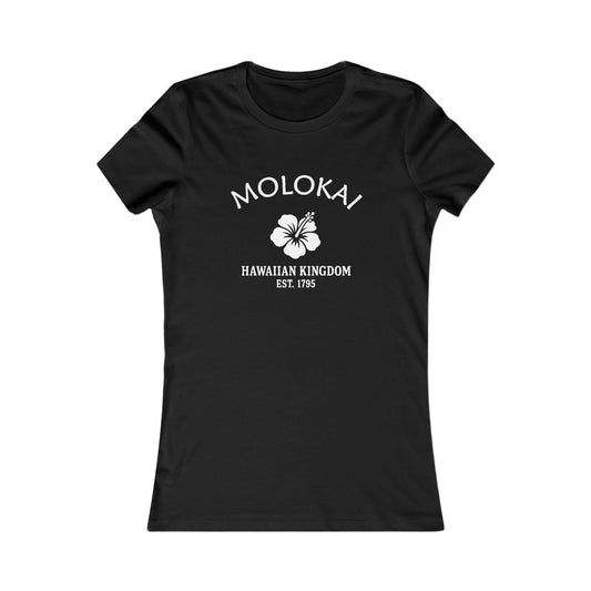
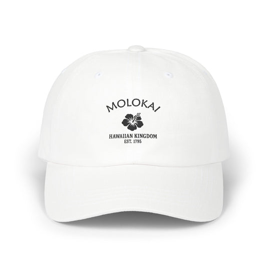
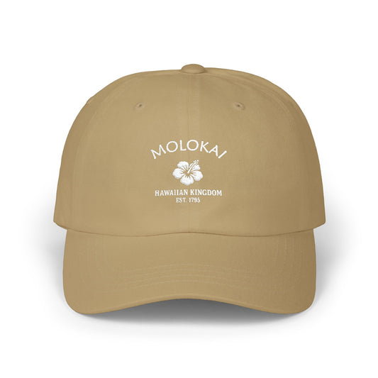
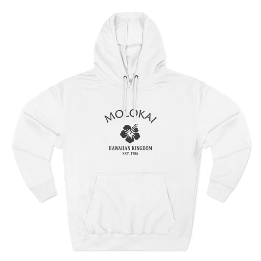
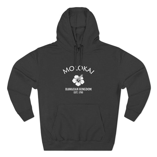
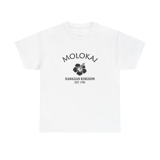
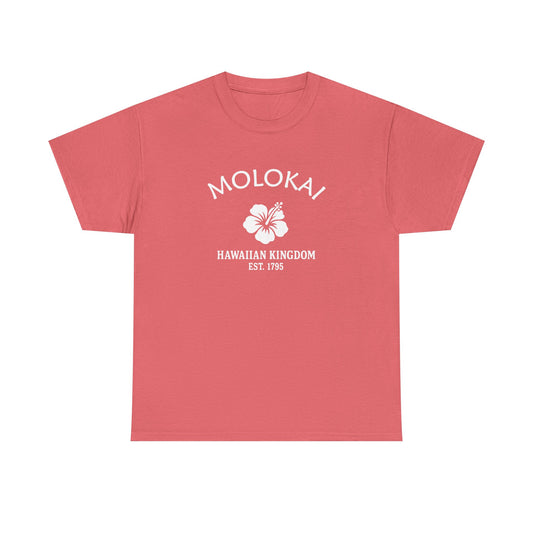
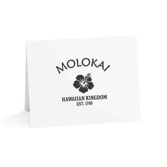
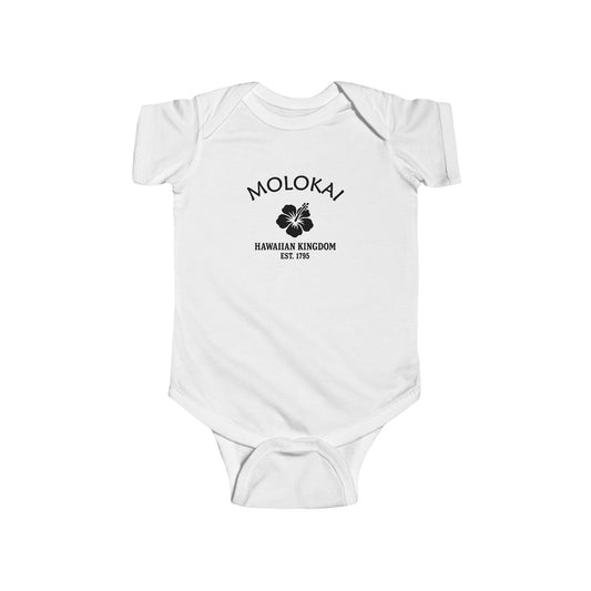
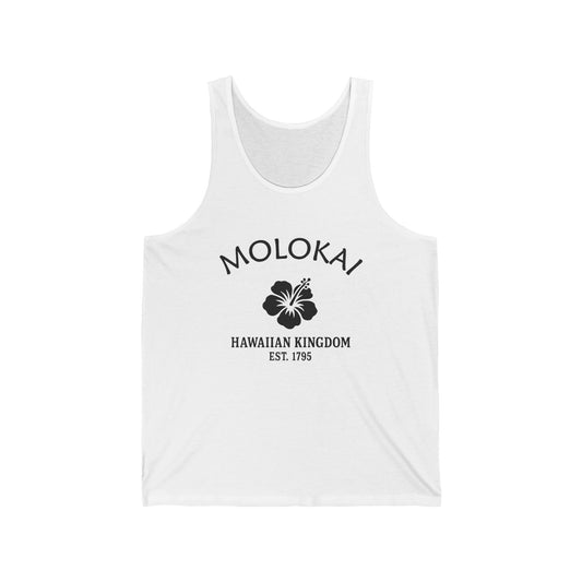
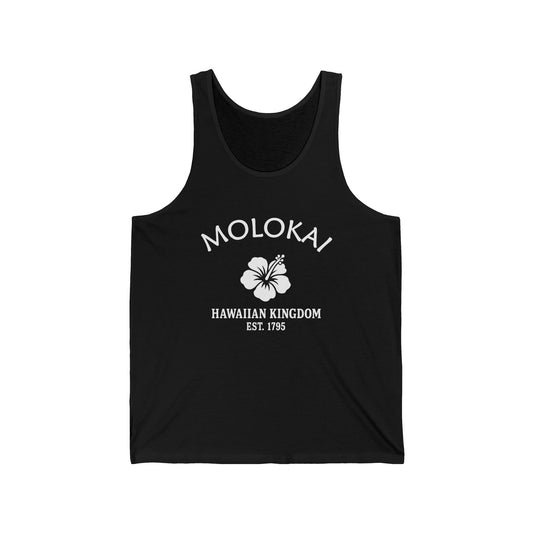
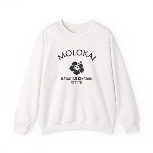
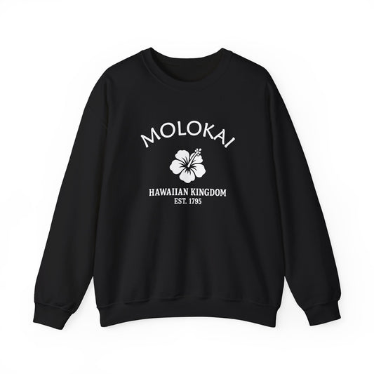
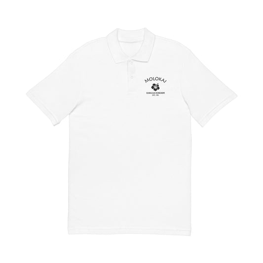
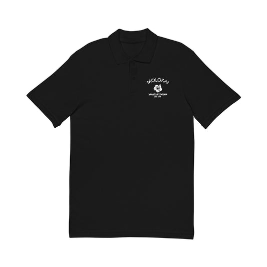
Our Molokaʻi logo carries the Hawaiian hibiscus over "Hawaiian Kingdom · Est. 1795," the shared emblem of every Merlin Classics Hawaiʻi place, marking the 1795 unification of the islands under Kamehameha. Printed in clean retro black-and-white like an old crate label, the hibiscus stands for the islands as a whole; what makes this one Molokaʻi is everything around it — the taro loʻi and the south-shore fishponds, the tallest cliffs in the world, the outrigger crews who cross the channel each fall, and the deep quiet of an island that chose to stay itself.
Each October that channel comes alive for the Molokaʻi Hoe, when outrigger canoes launch from the island's west end and paddle the treacherous Kaiwi Channel all the way to Oʻahu — a world-championship race that began in 1952 and keeps a seafaring tradition older than memory. The rest of the year the island simply goes on being itself: rural, unhurried, fiercely proud, the most Hawaiian place in Hawaiʻi. Our Molokaʻi designs gather that spirit into wearable form. Molokaʻi — the Friendly Isle, where old Hawaiʻi still lives beneath the tallest cliffs in the world.
Molokaʻi, Hawaiʻi — Travel Guide
Visiting Molokaʻi Today
Molokaʻi sits between Oʻahu and Maui, reached today by a short flight — the inter-island ferry ended in 2016 — and it feels a world away from either. There are no traffic lights and no resorts to speak of: one small town, a few country roads, miles of empty coast, and a community that likes it that way. Come for a slow day and a respectful pace.
The Cliffs, the Valley & the South Shore
For visitors looking for things to do on Molokaʻi, Hawaiʻi:
- Take in the world's tallest sea cliffs and the Kalaupapa Peninsula from the Kalaupapa Lookout in Pālāʻau State Park — the settlement below is a permit-only memorial, currently closed to visitors, so admire it from above with respect.
- Walk Papohaku Beach on the west end, more than two miles of pale sand that is often yours alone.
- Visit Hālawa Valley with a local cultural guide, who can lead you to its taro lands and twin waterfalls — one of Hawaiʻi's oldest settlements, best seen in good company.
- Drive the south shore to see the ancient fishponds (loko iʻa) along the reef, centuries-old Hawaiian aquaculture still visible from the road.
- Stroll Kaunakakai town and the royal Kapuaiwa Coconut Grove, planted for King Kamehameha V in the 1860s.
- Stop at the R.W. Meyer Sugar Mill & Molokaʻi Museum for the island's plantation-era story.
- Time a fall visit to the Molokaʻi Hoe, when outrigger crews launch from the west end for Oʻahu.
Why People Visit Molokaʻi
Molokaʻi offers the rarest thing in Hawaiʻi: an island that is still genuinely itself. It pairs deep living culture — hula's birthplace, the fishponds, the homestead lands — with dramatic, near-empty coast and a pace the rest of the islands lost long ago. Quiet, rural, and proud, it is made for travelers who want the real Hawaiʻi and are willing to meet it on its own terms.
Wear the History
Kindred Cities
We're glad to welcome visitors from Skye, Scotland and Madeira, Portugal (bem-vindos) — fellow islands that have kept the old ways and the wild edges.
Molokaʻi guards its character more fiercely than any island in Hawaiʻi, and Skye and Madeira would understand. Skye holds the Gaelic culture and bare grandeur of the Hebrides; Madeira terraces its lush, remote Atlantic slopes the way it always has; Molokaʻi — the most Hawaiian of the islands, with no traffic lights and no resorts to speak of — keeps taro, fishponds and the world's tallest sea cliffs along its rugged north shore. Islands that chose to stay themselves.
Molokaʻi delights the traveller who wants the real thing: an island with no resorts and no rush, sea cliffs that fall straight to the Pacific, ancient fishponds along the reef, and a community that has fought to keep it all. Come and visit us soon.
When you plan the trip, the Maui Visitors Bureau is the place to start.
Wear the History

For deeper reading on the Molokaʻi history described here — the ancient settlement of Hālawa Valley and the south-shore fishponds, the birthplace of hula at Kaʻana, the royal Kapuaiwa Coconut Grove, the founding of Hawaiʻi's first Hawaiian Home Lands homestead at Kalamaʻula in 1922, the solemn history of the Kalaupapa Hansen's-disease settlement and the ministry of Saint Damien and Mother Marianne Cope, and the annual Molokaʻi Hoe — it may be useful to consult (1) the Molokaʻi Museum & Cultural Center (R.W. Meyer Sugar Mill), (2) the Hawaiʻi State Archives, (3) the Bishop Museum, (4) the University of Hawaiʻi collections, and (5) Kalaupapa National Historical Park and Maui County records. For travel and visitor information, it may be useful to contact (1) the Maui Visitors Bureau, (2) the Hawaiʻi Tourism Authority, (3) Hawaiʻi State Parks (for Pālāʻau State Park), (4) Kalaupapa National Historical Park, and (5) the National Weather Service for Maui County forecasts.
Shop the Molokaʻi Hawaiʻi collection
View full collection-
Molokai Hawaii Vintage Retro Premium Crewneck Sweatshirt - Black Logo
Regular price $48.00 USDRegular price -
Molokai Hawaii Vintage Retro Premium Crewneck Sweatshirt - White Logo
Regular price $48.00 USDRegular price -
Molokai Hawaii Vintage Retro Womens Fitted Ringspun Cotton Tee - Black Logo
Regular price $28.00 USDRegular price -
-
Molokai Hawaii Vintage Retro Embroidered Cotton Cap - Black Logo
Regular price $32.00 USDRegular price -
Molokai Hawaii Vintage Retro Embroidered Cotton Cap - White Logo
Regular price $32.00 USDRegular price -
Molokai Hawaii Vintage Retro Unisex Heavy Cotton Hoodie - Black Logo
Regular price $56.00 USDRegular price -
Molokai Hawaii Vintage Retro Unisex Heavy Cotton Hoodie - White Logo
Regular price $56.00 USDRegular price -
Molokai Hawaii Vintage Retro Back Printed Art Series Cotton Tee - Black Logo
Regular price $32.00 USDRegular price -
Molokai Hawaii Vintage Retro Giclée Print Art Series Poster
Regular price From $38.00 USDRegular price -
Molokai Hawaii Vintage Retro Unisex Heavy Cotton Tee - Black Logo
Regular price $22.00 USDRegular price -
Molokai Hawaii Vintage Retro Unisex Heavy Cotton Tee - White Logo
Regular price $22.00 USDRegular price -
Molokai Hawaii Vintage Retro Vinyl Sticker - Black Logo
Regular price From $6.00 USDRegular price -
Molokai Hawaii Vintage Retro Ceramic Mug - Black Logo
Regular price From $16.00 USDRegular price -
Molokai Hawaii Vintage Retro Cotton Canvas Tote Bag - White Logo
Regular price $25.00 USDRegular price -
Molokai Hawaii Vintage Retro Cotton Canvas Tote Bag - Black Logo
Regular price $25.00 USDRegular price -
Molokai Hawaii Vintage Retro Thank You Card Set - Black Logo
Regular price From $25.00 USDRegular price -
Molokai Hawaii Vintage Retro Cotton Jersey Baby Bodysuit - Black Logo
Regular price $26.00 USDRegular price -
Molokai Hawaii Vintage Retro Unisex Cotton Jersey Tank Top - Black Logo
Regular price $28.00 USDRegular price -
Molokai Hawaii Vintage Retro Unisex Cotton Jersey Tank Top - White Logo
Regular price $28.00 USDRegular price -
Molokai Hawaii Vintage Retro Unisex Heavy Crewneck Sweatshirt - Black Logo
Regular price $44.00 USDRegular price -
Molokai Hawaii Vintage Retro Unisex Heavy Crewneck Sweatshirt - White Logo
Regular price $44.00 USDRegular price -
Molokai Hawaii Vintage Retro Unisex Embroidered Cotton Polo - Black Logo
Regular price $48.00 USDRegular price