Kāneʻohe Hawaii — Retro Vintage History
At approximately 7:48 in the morning on December 7, 1941 — about eight minutes before the first bombs fell on Pearl Harbor — Japanese carrier aircraft attacked Naval Air Station Kāneʻohe Bay on the Mokapu Peninsula. Twenty-seven of the thirty-six PBY Catalina long-range patrol seaplanes moored at the base were destroyed; eighteen sailors and one civilian were killed and sixty-five wounded. Kāneʻohe Bay was the first U.S. position struck in the Pacific Theater of World War II. The base had been commissioned only ten months earlier, on February 15, 1941, on land Woodrow Wilson had designated as the Kuwaʻaohe Military Reservation by executive order on June 14, 1918. Today the entire Mokapu Peninsula is Marine Corps Base Hawaiʻi Kāneʻohe Bay, consolidated April 15, 1994. Twenty-seven years after the attack, on June 7, 1968, the Byōdō-In Temple was dedicated at the Valley of the Temples Memorial Park at the foot of the Koʻolau Range — a half-scale non-denominational replica of the 950-year-old Phoenix Hall of the Byōdō-in at Uji, Japan, built to commemorate the centennial of the first Japanese immigrants who had arrived in Hawaiʻi in 1868. Byōdō-In means Temple of Equality. The two dates — December 7, 1941 and June 7, 1968 — sit twenty-seven years apart on the same shore. Native Hawaiians governed Kāneʻohe for centuries before either of them as a major ahupuaʻa in the Koʻolaupoko district of windward Oʻahu, an agricultural heartland of taro and sweet potato fed by the abundant rainfall of the Koʻolau Range and home to approximately thirty royal loko iʻa (fishponds) — of which Heʻeia Fishpond is today the most thoroughly restored, kept alive and producing by the community organization Kākoʻo ʻŌiwi. The town's name is older still: Kāneʻohe — "bamboo man" — comes from the ancient story of a woman who compared her husband's cruelty to the sharp edge of cut bamboo, recorded in the canonical Place Names of Hawaiʻi by Pukui, Elbert, and Mookini. Kāneʻohe Bay itself is the largest sheltered body of water in the Hawaiian Islands, an eight-mile caldera remnant of the ancient Koʻolau volcano, and the only barrier-reef-protected bay on Oʻahu. Inside it, the Kāneʻohe Sandbar — Ahu o Laka — surfaces at low tide a half-mile from shore. This is the windward side, the side the rain reaches first.
Wear the HistoryWhat's with the Bamboo Spirits of Kāneʻohe? In the windward air, greenery moves constantly, and bamboo can sound like its whispering, clicking, and swaying all at once. Bamboo Spirits is the nickname for that lively rustle, when stalks clack together and the sound follows you like a soft crowd. A quick cue is the rattle-rise: if the bamboo starts clicking before the palms bend, a gust is on its way, funneled down the valley and across the bay. That is wind and hollow stems doing their work. With rain clouds sliding over ridges and the ocean nearby, the bamboo turns weather into music, and the spirit is simply motion you can hear.
Kāneʻohe, on Oʻahu's windward side, has roots in Hawaiian agriculture and tradition that run deep below the modern town. Indigenous Hawaiians cultivated taro in loʻi fields, fished the reefs of Kāneʻohe Bay, and built approximately thirty royal fishponds along its shore. Missionaries later introduced churches and schools, but Hawaiian culture remained central. The community's identity has always been tied to the land and ocean — symbols of strength and continuity in Hawaiian tradition, carried forward through every era that followed.

Kāneʻohe remained primarily agricultural into the twentieth century. Sugar and pineapple plantations shaped its economy, alongside taro and fishing. The 1950s and 1960s brought suburban growth as highways connected Kāneʻohe to Honolulu — the Likelike Highway through the Wilson Tunnel, and eventually Interstate H-3 through the Tetsuo Harano Tunnels in 1997. Families built neighborhoods, while traditions remained strong in churches, hula, and festivals. Tourism stayed limited compared to Waikīkī, leaving Kāneʻohe more residential. Its timeline reflects Hawaiʻi's story of resilience: traditional practices carried forward amid modern expansion, with heritage and modern life tied together in mid-century decades.
Kāneʻohe's stories include legends of chiefs who cultivated taro fields and spirits guarding valleys. Families recall mid-century memories of parades, hula festivals, and community fairs where Hawaiian traditions thrived. Residents remember neighborhood gatherings, fishing trips at Heʻeia Pier, and afternoons on Kāneʻohe Bay. These tales reflect Kāneʻohe's dual heritage: Indigenous pride and suburban life. Myths and facts alike illustrate a town where cultural strength shaped community identity, ensuring Hawaiian values endured despite growth and modern development pressing in from Honolulu.
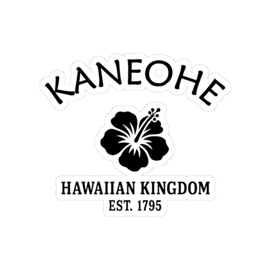
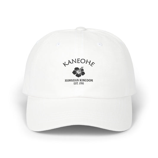
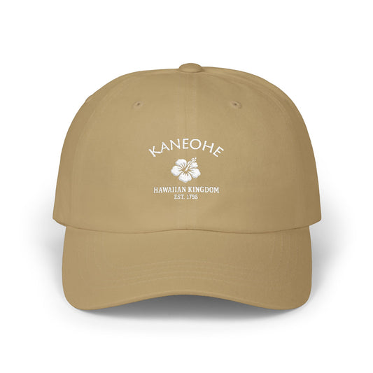
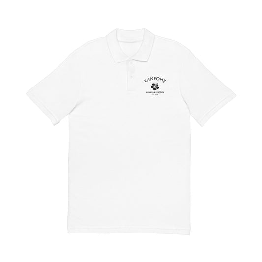
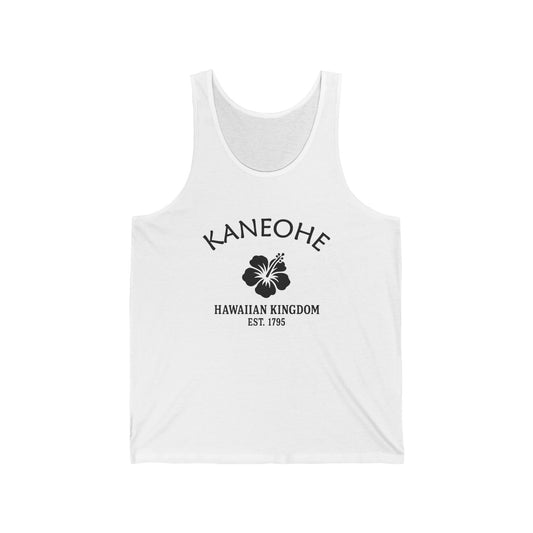
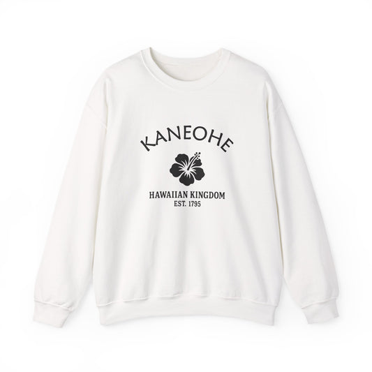
Our Kāneʻohe retro logo uses Hawaiʻi's hibiscus motif, emphasizing cultural pride and resilience. The hibiscus represents natural beauty, aloha spirit, and Hawaiian heritage, while "1795" ties the design to unification under Kamehameha I. Black-and-white styling is vintage and authentic, resembling travel labels or crate stamps. The motif bridges Kāneʻohe's heritage and suburban expansion, honoring tradition while reflecting resilience. On merchandise, it communicates authenticity, pride, and endurance, retro vintage in tone. The hibiscus motif symbolizes Kāneʻohe's layered identity, perfectly suited for celebrating a Hawaiian town defined by culture, community, and resilience.
Today Kāneʻohe blends suburban neighborhoods with strong Hawaiian heritage. Its residents celebrate culture through festivals, chants, and family traditions. Our Kāneʻohe designs reflect this dual identity, pairing the hibiscus motif with retro styling that honors Hawaiian pride. They invite you to explore the Kāneʻohe collection and carry forward a reminder of resilience and culture. Retro in tone, the motif reflects authenticity, history, and endurance. Kāneʻohe's logo is a vintage emblem of a community where Hawaiian culture thrives alongside suburban growth, preserving its strength and beauty for future generations.

Kāneʻohe Hawaiʻi — Travel Guide
Visiting Kāneʻohe Hawaiʻi Today
Kāneʻohe sits on the windward side of Oʻahu, about 12 miles northeast of Honolulu through the Koʻolau Range via the Likelike Highway, the Pali Highway, or Interstate H-3. The town is the largest of the windward communities along Kāneʻohe Bay, set against the green pleated cliffs of the Koʻolau Range — the rainward side of the island, where the trade winds drop their moisture first. Year-round mild climate; cruise-season patterns matter less here than on the cruise-port islands. Bring a light rain layer.
Kāneʻohe Bay, the Sandbar, Byōdō-In, and the Koʻolau Range
For visitors searching for things to do in Kāneʻohe Hawaiʻi:
- Boat out to the Kāneʻohe Sandbar (Ahu o Laka) — the submerged sand bank in the middle of Kāneʻohe Bay that surfaces at low tide, accessible only by boat, kayak, or paddleboard from Heʻeia Pier or Heʻeia Kea Boat Harbor. One of Hawaiʻi's most famous shallow-water destinations.
- Visit the Byōdō-In Temple at Valley of the Temples Memorial Park — the half-scale non-denominational replica of the 950-year-old Phoenix Hall at Uji, Japan, dedicated June 7, 1968, to commemorate the centennial of the first Japanese immigrants to Hawaiʻi. Koi ponds, gardens, the three-ton brass Bon-shō peace bell, and the Koʻolau Range as the backdrop. Open daily.
- Walk the Hoʻomaluhia Botanical Garden — 400 acres at the foot of the Koʻolau Range, established by the U.S. Army Corps of Engineers as a flood-protection project; lake views, picnic spots, and the cliffs rising directly behind.
- Watch the Koʻolau Range from below — the dramatic eroded basalt of windward Oʻahu, rising more than 2,000 feet directly behind town. The Haʻikū Stairs traced the ridge above Kāneʻohe until their 2024-2025 removal by the City and County of Honolulu; the silhouette of the range remains.
- Drive Kamehameha Highway north along Kāneʻohe Bay through Heʻeia, ʻĀhuimanu, Kahaluʻu, Waiāhole, and Waikane toward the North Shore.
- Look at Coconut Island (Mokoliʻi) in Kāneʻohe Bay — the small island that houses the Hawaiʻi Institute of Marine Biology, also recognizable as the silhouette in the opening sequence of the 1960s television series Gilligan's Island.
- Visit Heʻeia Fishpond — the historic Native Hawaiian loko iʻa kept alive and producing by Kākoʻo ʻŌiwi; check current public-access programming.
- Drive past Marine Corps Base Hawaiʻi Kāneʻohe Bay (K-Bay) on the Mokapu Peninsula — not visitor-accessible, but its silhouette and runways dominate the bay's northern edge; the December 7, 1941 attack happened here, eight minutes before Pearl Harbor.
- Look for honu (Hawaiian green sea turtles) and Hawaiian monk seals along the windward shore — both federally protected; stay 50 feet away.
Why People Visit Kāneʻohe Hawaiʻi
Kāneʻohe offers windward Oʻahu's most distinctive water destination at the Kāneʻohe Sandbar (Ahu o Laka), the only barrier-reef-protected bay on Oʻahu, the 1968 Byōdō-In Temple at Valley of the Temples as a windward-side cultural landmark commemorating the centennial of the first Japanese immigrants to Hawaiʻi, the 400-acre Hoʻomaluhia Botanical Garden, the green pleated cliffs of the Koʻolau Range as the dramatic backdrop of the town, the December 7, 1941 historical landscape of Mokapu Peninsula and NAS Kāneʻohe Bay as the first U.S. position struck in the Pacific Theater, the active Heʻeia Fishpond restoration as living Native Hawaiian cultural heritage, and the long Kāneʻohe ahupuaʻa heritage of the Koʻolaupoko district that has carried these shores for centuries. It is the windward side — the side the rain reaches first, and the side that remembers.
Wear the History
For deeper reading on Kāneʻohe, Hawaiʻi history described here — the centuries of Native Hawaiian settlement of the Kāneʻohe ahupuaʻa in the Koʻolaupoko district of windward Oʻahu, the approximately thirty royal loko iʻa (fishponds) including Heʻeia Fishpond and the contemporary Kākoʻo ʻŌiwi restoration program, the bamboo-man name etymology from the canonical Pukui-Elbert-Mookini Place Names of Hawaiʻi, the 1795 unification of the Hawaiian Islands by Kamehameha I, the June 14, 1918 Woodrow Wilson Executive Order 2900 designating the Kuwaʻaohe Military Reservation on the Mokapu Peninsula, the 1930s Fort Hase era, the February 15, 1941 commissioning of Naval Air Station Kāneʻohe Bay, the December 7, 1941 approximately 7:48 AM Japanese carrier-aircraft attack on NAS Kāneʻohe Bay approximately eight minutes before the first bombs fell on Pearl Harbor (27 of 36 PBY Catalinas destroyed; 18 sailors and 1 civilian killed; 65 wounded) as the first U.S. position struck in the Pacific Theater of World War II, the 1949 decommissioning of NAS Kāneʻohe Bay, the January 15, 1952 commissioning of MCAS Kāneʻohe Bay, the June 7, 1968 dedication of the Byōdō-In Temple at the Valley of the Temples Memorial Park to mark the centennial of the 1868 first Japanese immigrants to Hawaiʻi, the 1980s establishment of the 400-acre Hoʻomaluhia Botanical Garden, the August 21, 1959 Hawaiʻi statehood as the 50th state, and the April 15, 1994 consolidation of Marine Corps Base Hawaiʻi headquartered at Kāneʻohe Bay — it may be useful to consult (1) the Bernice Pauahi Bishop Museum in Honolulu, the state museum of Hawaiian natural and cultural history and the primary scholarly repository for Hawaiian-Islands archaeology, (2) the Hawaiian State Archives in Honolulu for the Kingdom-era and Territory-era records, (3) the Hawaiʻi State Library Hawaiian Collection on King Street in Honolulu for the Honolulu Advertiser and Honolulu Star-Bulletin microfilm runs and the Sanborn fire insurance maps for the windward Oʻahu plantation era, (4) the University of Hawaiʻi at Mānoa Hawaiian Collection at Hamilton Library for the Place Names of Hawaiʻi (Pukui, Elbert, Mookini) records, the ʻōlelo Hawaiʻi linguistic studies, and the windward-Oʻahu ethnographic literature, (5) the Lyman House Memorial Museum and the Mission Houses Museum in Honolulu for the 1820-forward missionary-era records, (6) the Hawaiian Historical Society at Mission Houses for the long-running Hawaiian Journal of History, (7) the Naval History and Heritage Command for the NAS Kāneʻohe Bay and December 7, 1941 records, (8) the National WWII Museum and the National Archives for the Pacific Theater archival materials including the December 7, 1941 attack records, (9) the Pearl Harbor Aviation Museum on Ford Island for the PBY Catalina and related Pacific-aviation collections, (10) the Byōdō-In Temple and Valley of the Temples Memorial Park for the 1968 dedication records and the centennial-of-1868-Japanese-immigration documentation, (11) Kākoʻo ʻŌiwi at Heʻeia Fishpond for the contemporary loko iʻa restoration program records, and (12) the Hawaiʻi State Department of Land and Natural Resources for the windward-Oʻahu state-park and ahupuaʻa-restoration records. For deeper local Kāneʻohe research, it may be useful to reach out to (1) the Bishop Museum, (2) the Hawaiian State Archives, (3) the Hawaiʻi State Library Hawaiian Collection, (4) the University of Hawaiʻi at Mānoa Hawaiian Collection at Hamilton Library, (5) the Hawaiian Historical Society, (6) the Naval History and Heritage Command, (7) Kākoʻo ʻŌiwi at Heʻeia Fishpond, and (8) the Byōdō-In Temple and Valley of the Temples Memorial Park. For travel and visitor information in Kāneʻohe, it may be useful to contact (1) the Hawaiʻi Tourism Authority for statewide tourism information, (2) the City and County of Honolulu Parks and Recreation Department for Hoʻomaluhia Botanical Garden, Mā'ili-equivalent windward parks, and Kāneʻohe-Bay-area public-access information, (3) the U.S. Army Corps of Engineers for the Hoʻomaluhia Botanical Garden visitor records, (4) the Byōdō-In Temple for visiting hours and respectful-access information, (5) the State of Hawaiʻi Department of Land and Natural Resources Division of Boating and Ocean Recreation for Heʻeia Kea Boat Harbor and Kāneʻohe Bay boating information, and (6) Kākoʻo ʻŌiwi for Heʻeia Fishpond public-access programming. Readers interested in the broader cultural reception of Kāneʻohe and its windward-Oʻahu identity — the centuries of Kāneʻohe ahupuaʻa Native Hawaiian heritage, the bamboo-man name etymology, the 1795 Kamehameha unification, the 1868 first Japanese immigration to Hawaiʻi, the 1918 Wilson designation of the Mokapu Peninsula as the Kuwaʻaohe Military Reservation, the 1941 NAS Kāneʻohe Bay commissioning, the December 7, 1941 first-position-struck-in-the-Pacific-Theater attack approximately eight minutes before Pearl Harbor, the 1952 MCAS Kāneʻohe Bay commissioning, the 1968 Byōdō-In Temple dedication commemorating the 1868 Japanese-immigration centennial, the 1980s Hoʻomaluhia Botanical Garden establishment, the 1994 MCBH consolidation, the modern Kāneʻohe Sandbar (Ahu o Laka) and Hawaiʻi's-only-barrier-reef tourism era, and the contemporary Heʻeia Fishpond restoration by Kākoʻo ʻŌiwi — will find that the named places (the Kāneʻohe ahupuaʻa, Kāneʻohe Bay, Kāneʻohe Sandbar / Ahu o Laka, the Oʻahu Barrier Reef, Mokapu Peninsula, the Koʻolau Range, the Byōdō-In Temple at Valley of the Temples, Hoʻomaluhia Botanical Garden, Heʻeia Fishpond, Heʻeia Pier and Heʻeia Kea Boat Harbor, Coconut Island / Mokoliʻi, Moku Manu, the Koʻolaupoko district, Heʻeia, ʻĀhuimanu, Kahaluʻu, Waiāhole, Waikane, Kamehameha Highway, Likelike Highway, Interstate H-3, the Pali Highway, Kailua, Honolulu, MCBH Kāneʻohe Bay, and the former NAS Kāneʻohe Bay), the named historical figures (Kamehameha I as the unifier of the Hawaiian Islands), and the named historical moments (the centuries of pre-contact Kāneʻohe ahupuaʻa life, the 1795 Hawaiian unification, the 1868 first Japanese immigrants to Hawaiʻi, the 1918 Wilson Mokapu designation, the 1941 NAS Kāneʻohe Bay commissioning, the December 7, 1941 first-position-struck attack, the 1949 NAS decommissioning, the 1952 MCAS commissioning, the 1968 Byōdō-In dedication, the 1980s Hoʻomaluhia establishment, the 1959 statehood, and the 1994 MCBH consolidation) recur across all of these traditions as a shared cultural grammar of foundational Kāneʻohe history grounded specifically on the windward coast of Oʻahu beneath the green pleated cliffs of the Koʻolau Range and along Hawaiʻi's only barrier-reef-protected bay.
Shop the Kāneʻohe Hawaiʻi collection
View full collection-
Kaneohe Hawaii Vintage Retro Premium Crewneck Sweatshirt - Black Logo
Regular price $42.00 USDRegular price -
Kaneohe Hawaii Vintage Retro Premium Crewneck Sweatshirt - White Logo
Regular price $42.00 USDRegular price -
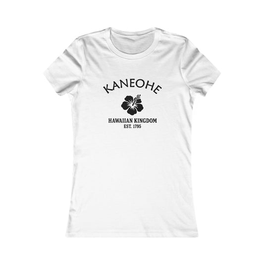
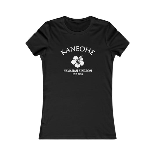
Kaneohe Hawaii Vintage Retro Womens Fitted Ringspun Cotton Tee - Black Logo
Regular price $28.00 USDRegular price -
-
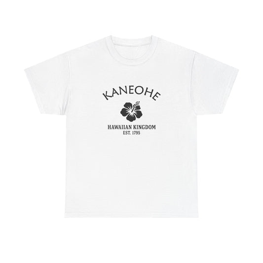
Kaneohe Hawaii Vintage Retro Unisex Heavy Cotton Tee - Black Logo
Regular price $22.00 USDRegular price -
Kaneohe Hawaii Vintage Retro Unisex Heavy Cotton Tee - White Logo
Regular price $22.00 USDRegular price -
Kaneohe Hawaii Vintage Retro Vinyl Sticker - Black Logo
Regular price From $6.00 USDRegular price -
Kaneohe Hawaii Vintage Retro Embroidered Cotton Cap - Black Logo
Regular price $32.00 USDRegular price -
Kaneohe Hawaii Vintage Retro Embroidered Cotton Cap - White Logo
Regular price $32.00 USDRegular price -
Kaneohe Hawaii Vintage Retro Giclée Print Art Series Poster
Regular price From $38.00 USDRegular price -
Kaneohe Hawaii Vintage Retro Back Printed Art Series Cotton Tee - Black Logo
Regular price $32.00 USDRegular price -
Kaneohe Hawaii Vintage Retro Unisex Embroidered Cotton Polo - Black Logo
Regular price $48.00 USDRegular price -
Kaneohe Hawaii Vintage Retro Unisex Heavy Cotton Hoodie - Black Logo
Regular price $48.00 USDRegular price -
Kaneohe Hawaii Vintage Retro Unisex Heavy Cotton Hoodie - White Logo
Regular price $48.00 USDRegular price -
Kaneohe Hawaii Vintage Retro Unisex Embroidered Fleece Jacket - White Logo
Regular price $98.00 USDRegular price -
Kaneohe Hawaii Vintage Retro Ceramic Mug - Black Logo
Regular price From $16.00 USDRegular price -
Kaneohe Hawaii Vintage Retro Cotton Canvas Tote Bag - Black Logo
Regular price $25.00 USDRegular price -
Kaneohe Hawaii Vintage Retro Cotton Canvas Tote Bag - White Logo
Regular price $25.00 USDRegular price -
Kaneohe Hawaii Vintage Retro Thank You Card Set - Black Logo
Regular price From $25.00 USDRegular price -
Kaneohe Hawaii Vintage Retro Cotton Jersey Baby Bodysuit - Black Logo
Regular price $26.00 USDRegular price -
Kaneohe Hawaii Vintage Retro Unisex Cotton Jersey Tank Top - White Logo
Regular price $28.00 USDRegular price -
Kaneohe Hawaii Vintage Retro Unisex Cotton Jersey Tank Top - Black Logo
Regular price $28.00 USDRegular price -
Kaneohe Hawaii Vintage Retro Unisex Heavy Crewneck Sweatshirt - Black Logo
Regular price $38.00 USDRegular price