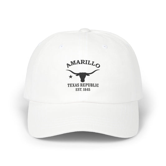
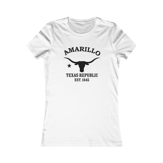
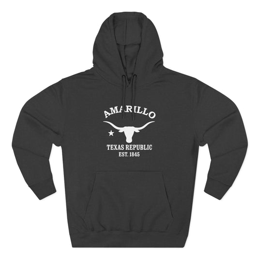
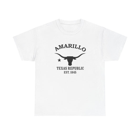
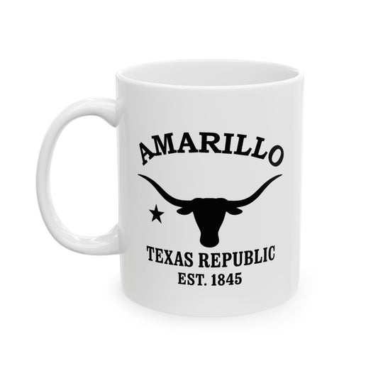
Amarillo Texas — Retro Vintage History
Amarillo is the Yellow City — capital of the Texas Panhandle, out on the high, flat Llano Estacado where the railroad dropped a cattle town in 1887 and Route 66 later ran straight through its heart. This is big-sky Texas: feedlots and ranch country to every horizon, the second-largest canyon in America just down the road, ten Cadillacs planted nose-down in a field, and a town that was once the busiest cattle-shipping point on earth. Cowboy bones, Mother Road neon, helium under the caprock — that is Amarillo.
Wear the HistoryWhere you're from. Where you love. Where you explored. Where you belong.
What's with the yellow? Amarillo is Spanish for 'yellow' — the town took its name from Amarillo Creek and Lake, named for their yellow soil and spring wildflowers. New Mexican traders and pastores had called the creek amarillo for generations before the town existed; when the railroad settlement first platted as Oneida needed a real name, it took the creek's — and the first houses in town were painted yellow to celebrate the choice. Early on, Texans even said it the Spanish way, ah-mah-REE-yo, until railroad conductors calling out stops wore the pronunciation down to the one everybody uses today. The yellow stuck to everything: the soil, the spring wildflowers, the houses, and eventually the city's whole identity as the Yellow City of the Panhandle.

For centuries before the rails, the Llano Estacado — the Staked Plains — was Comanchería: the homeland of the Comanche, and of the Kiowa and Apache before and beside them. Francisco Vázquez de Coronado crossed these plains in 1541 hunting the Seven Cities of Cíbola, and for three centuries afterward the high plains belonged to the horse nations and the great bison herds. The 1874 Red River War, whose decisive engagement came at the Battle of Palo Duro Canyon, ended the Comanche era; within two years Charles Goodnight had driven cattle into the canyon to found the JA Ranch, and the open-range ranching age began.
QUICK FACTS — AMARILLO, TX
Amarillo was laid out in 1887 beside the Fort Worth & Denver City Railway and briefly bore the name Oneida.
The name is Spanish for “yellow,” after Amarillo Creek and Amarillo Lake and their yellow soil and wildflowers.
Henry B. Sanborn, the “Father of Amarillo,” moved the young town to higher ground after the flooding of 1889.
By the 1890s Amarillo was one of the world's busiest cattle-shipping points, moving over 100,000 head a year.
Route 66 reached Amarillo in 1926; the historic Sixth Street district still carries the Mother Road today.
The Cliffside gas field made Amarillo the Helium Capital of the World; a federal helium plant opened in 1929.
Palo Duro Canyon, the second-largest canyon in the United States, lies about 25 miles southeast of the city.
Cadillac Ranch — ten Cadillacs planted nose-down in a field since 1974 — is the city's famous roadside art landmark.
The city itself arrived with the Fort Worth & Denver City Railway in 1887. A tent camp on the right-of-way grew into a townsite platted by J.T. Berry beside Amarillo Lake — called Wild Horse Lake by the cowboys — and on August 30, 1887 it won the Potter County seat election. Two years later, after flooding soaked the low ground, Henry B. Sanborn — partner of barbed-wire magnate Joseph F. Glidden and remembered as the Father of Amarillo — moved the town to higher ground, and the boom began: by the 1890s Amarillo was shipping more cattle than any point on the planet, over 100,000 head a year.
The twentieth century layered on the legends. Route 66 came through in 1926, and the San Jacinto stretch along Sixth Street — art deco and Spanish Revival storefronts, now a historic district of antiques and dining — became one of the Mother Road's marquee runs. Helium discovered in the Cliffside gas field made Amarillo the Helium Capital of the World, with the federal helium plant opening in 1929. Oil and gas, ranching and meatpacking kept the Panhandle's capital growing — and country fans the world over know the city's name from the rodeo standard “Amarillo by Morning.”
And then there is the land itself. Palo Duro Canyon — the second-largest canyon in the United States, carved by a fork of the Red River into 800-foot walls of layered red and gold — opens up about 25 miles southeast, with the Lighthouse Rock formation as its signature and rim-to-floor trails for hikers and campers. West of town on the old Route 66 alignment stands Cadillac Ranch, the 1974 installation by the art collective Ant Farm: ten Cadillacs buried nose-down in a wheat field, repainted daily by visitors, as pure a piece of American roadside art as exists anywhere.
Our retro Amarillo designs draw on all of it — the yellow of the creek banks and wildflowers, Route 66 neon and Sixth Street chrome, the canyon's red-and-gold walls, longhorns and windmills on the high plains, and the Lone Star pride of the Panhandle. Each piece is rendered in the vintage travel style we build for every American town we love — made to feel like a postcard from the Mother Road you can wear.
A creek named yellow, a town painted to match, the busiest cattle pens on earth, and a highway that carried the whole country through town — Amarillo wears its story the way the Panhandle wears its sky: wide open. Amarillo, Texas — the Yellow City of the Panhandle, on Route 66 since 1926. Wear a little of it wherever the road takes you.

Amarillo Texas — Travel Guide
Visiting Amarillo Texas Today
Amarillo stands on the high plains at the heart of the Texas Panhandle, where open skies meet Western heritage. Known for its Route 66 history and the nearby Palo Duro Canyon, it pairs cattle-country tradition with wide-open high-plains adventure.
Route 66, the Canyon & Western Heritage in Amarillo Texas
For visitors searching for things to do in Amarillo, Texas:
- Drive a stretch of historic Route 66 through the Sixth Street Historic District, with vintage storefronts, antiques, and diners.
- Visit Palo Duro Canyon State Park, the "Grand Canyon of Texas" and the second-largest canyon in the country.
- Tour the American Quarter Horse Hall of Fame and Museum, honoring the West's working horse.
- See Cadillac Ranch, the famous row of nose-down Cadillacs along Interstate 40.
- Stop at the Big Texan Steak Ranch, a Route 66 icon of Panhandle cattle country.
Why People Visit Amarillo Texas
Amarillo draws visitors with a mix of Western heritage, natural wonder, and Mother Road Americana. Travelers find it both a marquee stop along historic Route 66 and the gateway to Palo Duro Canyon, with deep cattle-ranching and Quarter-Horse traditions and the wide, plainspoken character of the high plains. It is proud, practical, and unmistakably Texan.
Wear the History
Where you're from. Where you love. Where you explored. Where you belong.
Kindred Cities
Welcome to visitors from Calgary, Canada and Edmonton, Canada — fellow cities of the northern high plains, closer to Amarillo in spirit than in miles.
Calgary, Edmonton and Amarillo grew up on the same wide grasslands — ranching towns that later struck oil and gas. Alberta has its Stampede; the Texas Panhandle answers with a working rodeo calendar and one of the largest cattle economies in the country. Open horizon, cattle and energy, frontier confidence: the inheritance is shared.
If the Stampede is a fixture on your calendar, the appeal here is familiar: working ranches, a living rodeo circuit, and steakhouses that take cattle country seriously. Swap the Bow River for canyon country and Route 66, and it reads like home in a different accent. Come and visit us soon.
When you start planning, Visit Amarillo — the city's Convention & Visitors Bureau — is the place to begin.
Wear the History
Where you're from. Where you love. Where you explored. Where you belong.

For deeper reading on the Amarillo, Texas history described here — the Comanche, Kiowa, and Apache heritage of the Llano Estacado, Coronado's 1541 crossing, the 1887 railroad founding and the Yellow City name, Henry B. Sanborn and the 1889 relocation, the 1890 cattle-shipping hub, the 1926 arrival of Route 66, the American Quarter Horse heritage, and the Helium Capital — it may be useful to consult (1) the Panhandle-Plains Historical Museum (Canyon, Texas) and the local historical society, (2) the Amarillo Public Library local-history collection, (3) the Texas State Library and Archives Commission and the Texas Historical Commission, (4) the City of Amarillo and Potter County clerk's records offices, and (5) the West Texas A&M University libraries. For travel and visitor information, it may be useful to contact (1) Visit Amarillo (the Amarillo Convention and Visitors Council), (2) Travel Texas, (3) Palo Duro Canyon State Park and Texas State Parks, (4) the City of Amarillo Parks and Recreation Department, and (5) the regional visitor and airport information desks.
Shop the Amarillo Texas collection
View full collection-
Amarillo Texas Vintage Retro Premium Crewneck Sweatshirt - Black Logo
Regular price $48.00 USDRegular price -
Amarillo Texas Vintage Retro Premium Crewneck Sweatshirt - White Logo
Regular price $48.00 USDRegular price -
Amarillo Texas Vintage Retro Back Printed Art Series Cotton Tee - Black Logo
Regular price $32.00 USDRegular price -
Amarillo Texas Vintage Retro Giclée Print Art Series Poster
Regular price From $38.00 USDRegular price -
Amarillo Texas Vintage Retro Embroidered Cotton Cap - Black Logo
Regular price $32.00 USDRegular price -
Horse at Low Tide - Silhouette Art Giclée Unframed Art Print
Regular price From $34.00 USDRegular price -
Shoreline Trio - Silhouette Art Framed Art Print
Regular price From $96.00 USDRegular price -
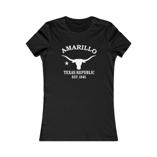
Amarillo Texas Vintage Retro Womens Fitted Ringspun Cotton Tee - Black Logo
Regular price $28.00 USDRegular price -
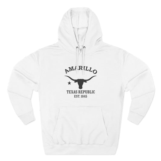
Amarillo Texas Vintage Retro Unisex Heavy Cotton Hoodie - White Logo
Regular price $56.00 USDRegular price -
Mare and Foal - Silhouette Art Framed Art Print
Regular price From $96.00 USDRegular price -
Horse at Low Tide - Silhouette Art Framed Art Print
Regular price From $96.00 USDRegular price -
Amarillo Texas Vintage Retro Unisex Heavy Cotton Tee - Black Logo
Regular price $22.00 USDRegular price -
-
Shoreline Trio II - Silhouette Art Giclée Unframed Art Print
Regular price From $34.00 USDRegular price -
Shoreline Trio II - Silhouette Art Framed Art Print
Regular price From $96.00 USDRegular price -
Amarillo Texas Vintage Retro Unisex Heavy Cotton Hoodie - Black Logo
Regular price $56.00 USDRegular price -
Three Dogs, Still Water - Silhouette Art Giclée Unframed Art Print
Regular price From $44.00 USDRegular price -
Boy and Hound - Silhouette Art Framed Art Print
Regular price From $96.00 USDRegular price -
Amarillo Texas Vintage Retro Vinyl Sticker - Black Logo
Regular price From $6.00 USDRegular price -
Amarillo Texas Vintage Retro Ceramic Mug - Black Logo
Regular price From $16.00 USDRegular price -
Shoreline Conversation - Silhouette Art Giclée Unframed Art Print
Regular price From $34.00 USDRegular price -
Kiss for the Hound - Silhouette Art Framed Art Print
Regular price From $96.00 USDRegular price -
Shoreline Trio - Silhouette Art Giclée Unframed Art Print
Regular price From $34.00 USDRegular price