


The Waiʻanae moku — sometimes called Waiʻanae Moku rather than translated to "the Waiʻanae District" — is the leeward division of Oʻahu, running from Kahe in the south to Kaʻena Point at the westernmost tip of the island. The Waiʻanae ahupuaʻa, sitting between the Mākaha and Lualualei ahupuaʻa, was the Royal Center of the district in the late 1600s and 1700s, with numerous important heiau and an estimated 4,000 to 6,000 residents at the time of European contact. Captain Cook's Resolution and Discovery first sighted the Hawaiian Islands on January 18, 1778, and Kamehameha I completed the unification of the islands in 1795. Pōkaʻī Bay, the protected swimming bay at Waiʻanae, takes its name from the voyaging chief Pōkaʻī of Kahiki who, in Hawaiian tradition, brought niu (coconut) to the islands; the bay once held the great coconut grove Ka Uluniu o Pokaʻī, noted by Western sailors in the 1700s. On the peninsula at Pōkaʻī Bay sits Kūʻīlioloa Heiau, the three-platform navigation heiau dedicated to Kū in his dog form Kūʻīlioloa. The Hawaiian creation tradition places the birth of the demigod Māui on this coast.
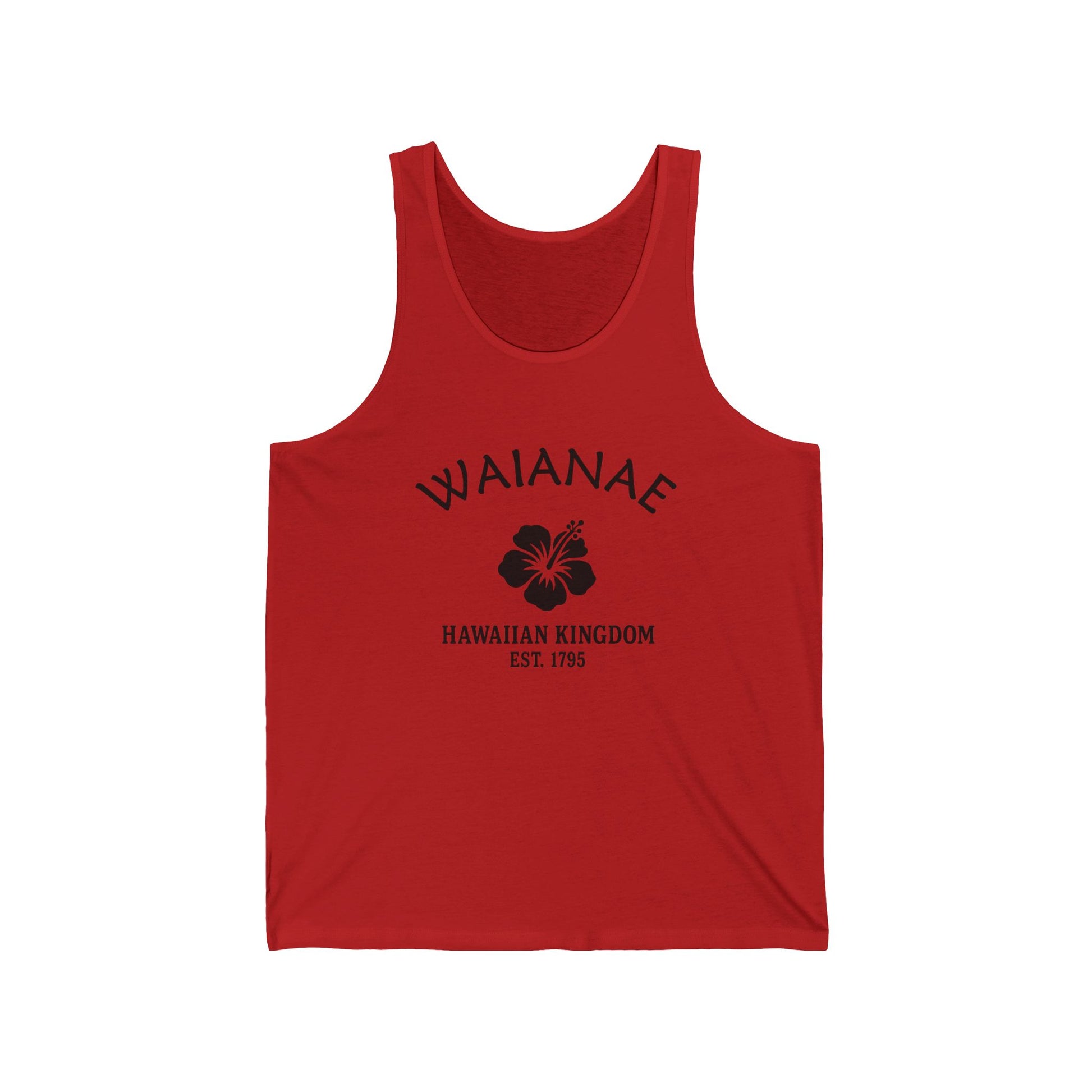
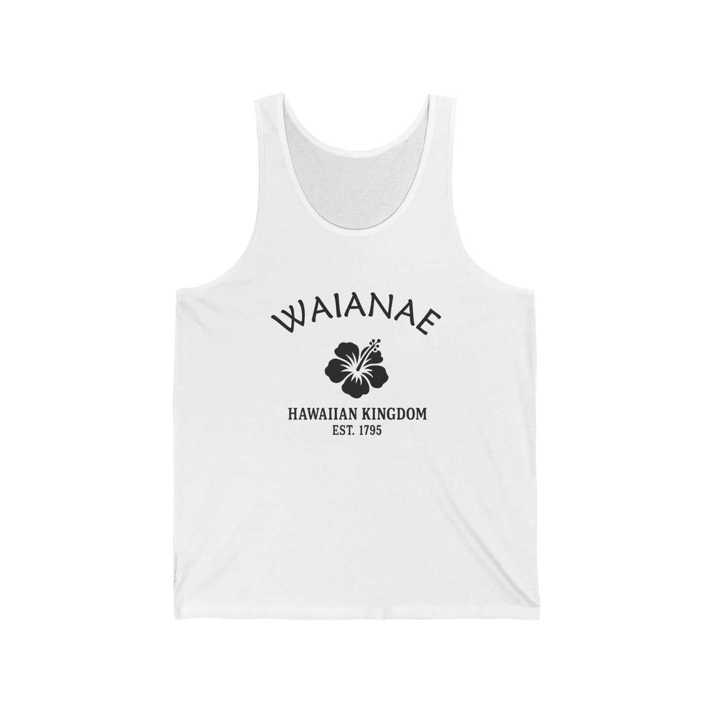
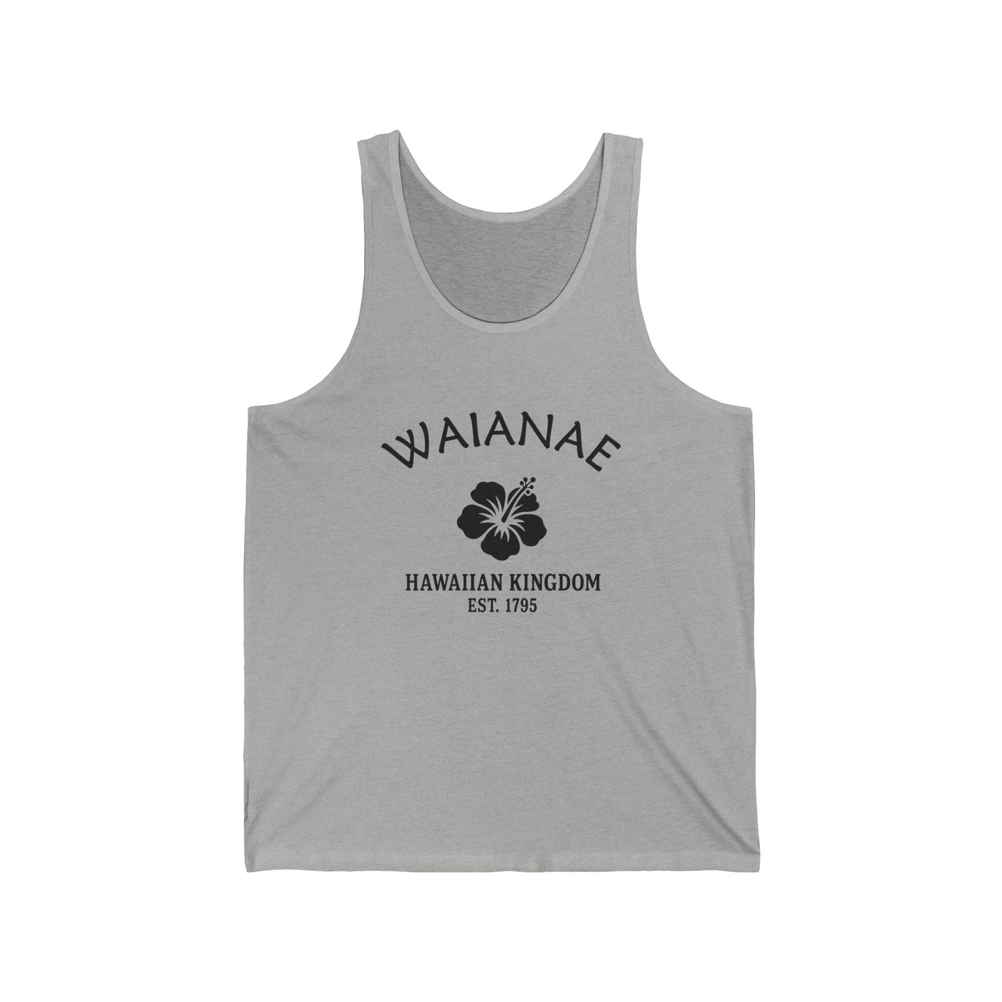
Our Waiʻanae retro logo carries the hibiscus motif, the state flower of Hawaiʻi, and the date "1795" stamped beneath, for the year Kamehameha I unified the islands. The black-and-white styling is retro, in the vocabulary of travel decals and mid-century beach signage. The hibiscus and the date do the work of placing the design in the unification era of the islands — and the leeward coast that was the Royal Center of its moku, that hosted the world's first international surfing competition at Mākaha, and that stands beneath the highest summit on Oʻahu.
Why People Visit Waiʻanae Hawaiʻi
- Watch the surf at Mākaha Beach Park — one of the original homes of big-wave surfing, with winter waves up to 25 feet off Mākaha Point. The 1953-1954 Mākaha International Surfing Championships were the world's first international surfing competition. Buffalo's Big Board Surfing Classic, founded by Buffalo Keaulana in 1977, runs every February. Powerful backwash and rip currents in winter; calmer water and good shore-side viewing in summer.
- Swim at Pōkaʻī Bay — the protected swimming bay at Waiʻanae, the safest swimming on the leeward coast, named for the voyaging chief Pōkaʻī of Kahiki who brought niu (coconut) to the Hawaiian Islands. The peninsula on the south side of the bay holds Kūʻīlioloa Heiau, the three-platform navigation heiau dedicated to Kū in his dog form; respect the site, do not climb the platforms.
- Visit Kāneʻāki Heiau in Mākaha Valley — one of the most thoroughly restored ancient heiau in Hawaiʻi, a wahi pana sacred site that the Bishop Museum restored in 1970 and opened to respectful public visits Tuesday through Sunday in 1990. Access through the Mākaha Valley road; check current visiting hours; this is sacred ground, observe quietly and follow posted respectful-access guidance.
- Hike toward Kaʻena Point State Park — the westernmost tip of Oʻahu, where the Waiʻanae and North Shore coasts meet, a seabird refuge and Hawaiian monk seal habitat, sacred in Hawaiian belief as the leaping place of souls. Walk in from the Waiʻanae side along the old Dillingham railroad bed.
- Look up at Mount Kaʻala — the 4,025-foot summit of the Waiʻanae Mountain Range, the highest peak on the island of Oʻahu, sacred in Hawaiian tradition and often cloud-shrouded. The summit access trail is challenging.
- Walk the Waiʻanae Small Boat Harbor on Pōkaʻī Bay — one of Oʻahu's principal commercial fishing harbors, with the ahi-tuna fleet and views toward the Waiʻanae Range.
- Stroll Mā'ili Beach Park — the long lawn and sandy beach park south of Waiʻanae along Farrington Highway.
- Drive Farrington Highway (Route 93) along the Waiʻanae moku from Nānākuli north through Mā'ili and Waiʻanae to Mākaha, with the Pacific on your left and the Waiʻanae Range on your right.
- Look for honu (Hawaiian green sea turtles) and Hawaiian monk seals along the leeward beaches — both protected; stay 50 feet away.
![]()