


Kāneʻohe, on Oʻahu's windward side, has roots in Hawaiian agriculture and tradition that run deep below the modern town. Indigenous Hawaiians cultivated taro in loʻi fields, fished the reefs of Kāneʻohe Bay, and built approximately thirty royal fishponds along its shore. Missionaries later introduced churches and schools, but Hawaiian culture remained central. The community's identity has always been tied to the land and ocean — symbols of strength and continuity in Hawaiian tradition, carried forward through every era that followed.
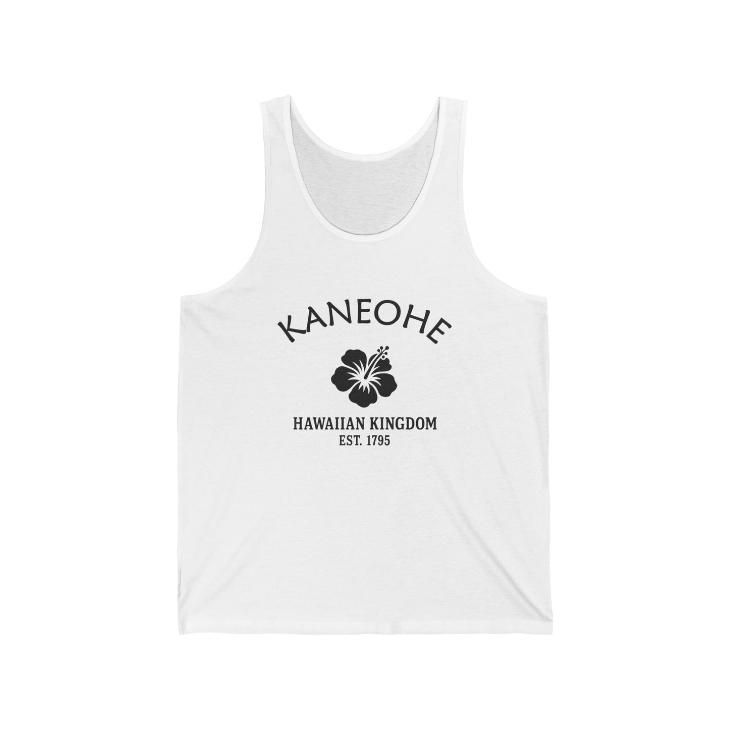
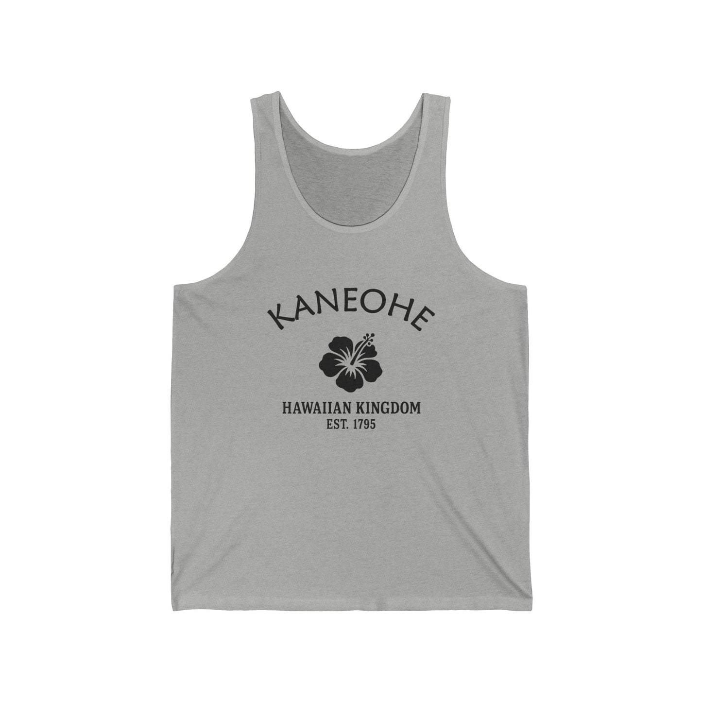
Our Kāneʻohe retro logo uses Hawaiʻi's hibiscus motif, emphasizing cultural pride and resilience. The hibiscus represents natural beauty, aloha spirit, and Hawaiian heritage, while "1795" ties the design to unification under Kamehameha I. Black-and-white styling is vintage and authentic, resembling travel labels or crate stamps. The motif bridges Kāneʻohe's heritage and suburban expansion, honoring tradition while reflecting resilience. On merchandise, it communicates authenticity, pride, and endurance, retro vintage in tone. The hibiscus motif symbolizes Kāneʻohe's layered identity, perfectly suited for celebrating a Hawaiian town defined by culture, community, and resilience.
Why People Visit Kāneʻohe Hawaiʻi
- Boat out to the Kāneʻohe Sandbar (Ahu o Laka) — the submerged sand bank in the middle of Kāneʻohe Bay that surfaces at low tide, accessible only by boat, kayak, or paddleboard from Heʻeia Pier or Heʻeia Kea Boat Harbor. One of Hawaiʻi's most famous shallow-water destinations.
- Visit the Byōdō-In Temple at Valley of the Temples Memorial Park — the half-scale non-denominational replica of the 950-year-old Phoenix Hall at Uji, Japan, dedicated June 7, 1968, to commemorate the centennial of the first Japanese immigrants to Hawaiʻi. Koi ponds, gardens, the three-ton brass Bon-shō peace bell, and the Koʻolau Range as the backdrop. Open daily.
- Walk the Hoʻomaluhia Botanical Garden — 400 acres at the foot of the Koʻolau Range, established by the U.S. Army Corps of Engineers as a flood-protection project; lake views, picnic spots, and the cliffs rising directly behind.
- Watch the Koʻolau Range from below — the dramatic eroded basalt of windward Oʻahu, rising more than 2,000 feet directly behind town. The Haʻikū Stairs traced the ridge above Kāneʻohe until their 2024-2025 removal by the City and County of Honolulu; the silhouette of the range remains.
- Drive Kamehameha Highway north along Kāneʻohe Bay through Heʻeia, ʻĀhuimanu, Kahaluʻu, Waiāhole, and Waikane toward the North Shore.
- Look at Coconut Island (Mokoliʻi) in Kāneʻohe Bay — the small island that houses the Hawaiʻi Institute of Marine Biology, also recognizable as the silhouette in the opening sequence of the 1960s television series Gilligan's Island.
- Visit Heʻeia Fishpond — the historic Native Hawaiian loko iʻa kept alive and producing by Kākoʻo ʻŌiwi; check current public-access programming.
- Drive past Marine Corps Base Hawaiʻi Kāneʻohe Bay (K-Bay) on the Mokapu Peninsula — not visitor-accessible, but its silhouette and runways dominate the bay's northern edge; the December 7, 1941 attack happened here, eight minutes before Pearl Harbor.
- Look for honu (Hawaiian green sea turtles) and Hawaiian monk seals along the windward shore — both federally protected; stay 50 feet away.
![]()