


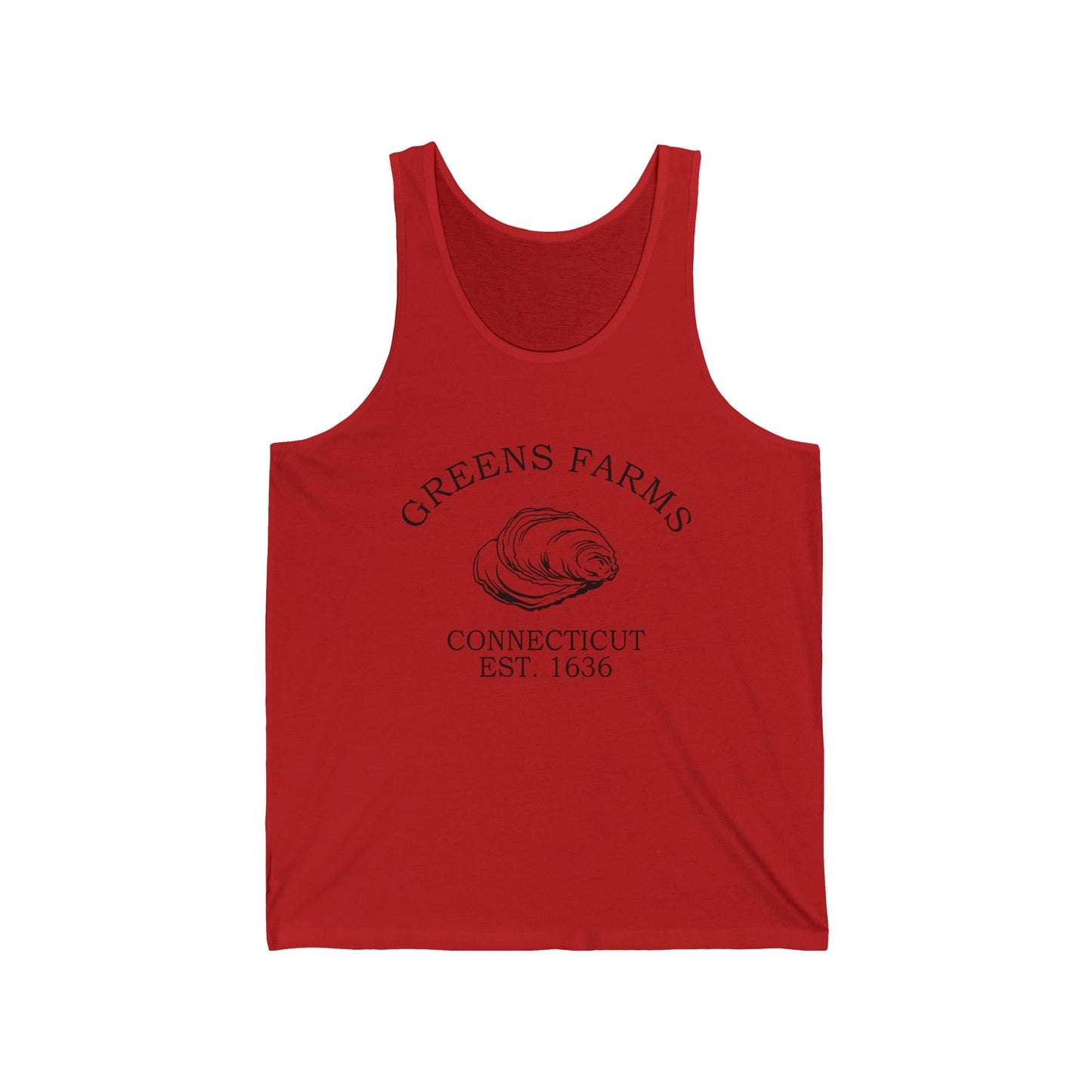
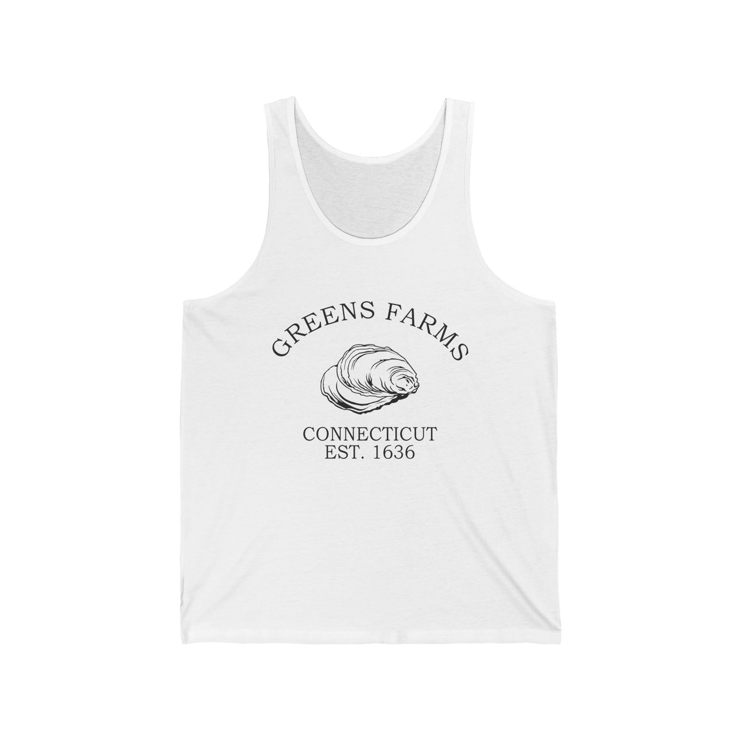

Today Greens Farms blends suburban shoreline living with deep colonial history. Its neighborhoods sit beside landmarks that recall the 1648 settlement, the 1711 parish, and Connecticut's first state park at Sherwood Island. Our Greens Farms designs gather that layered identity into wearable form — the oyster shell, the salt marsh, the beautiful land of Machamux. Explore the collection and carry forward a symbol of a Connecticut shoreline that has held its name's promise for three and a half centuries.
Two centuries on, the shoreline gave Connecticut a different kind of landmark: Sherwood Island, where the state's first land purchases in 1914 created what would become, after a long public battle, Connecticut's first state park — 238 acres of beach, salt marsh, and woodland on the Sound, right in the Greens Farms section of Westport. A quiet shoreline enclave with three and a half centuries behind it, Greens Farms still holds the promise of the name the Pequot gave it.
Why People Visit Greens Farms Connecticut
- Explore Sherwood Island State Park, Connecticut's first state park — 238 acres of beach, salt marsh, and woodland on Long Island Sound, with swimming, fishing, and birdwatching.
- Find the Machamux Boulder on the old Common at Green's Farms Road near Morningside Drive, the monument marking the original 1648 settlement.
- See the Green's Farms Congregational Church, the parish society's 1853 meeting house on Hillandale Road carrying a continuous history since 1711.
- Drive Beachside Avenue past historic shoreline estates, with the Sound on one side and salt marsh on the other.
- Walk the quiet shoreline lanes around Frost Point — named for Bankside Farmer Daniel Frost — and the marsh edges of Sasco Creek.
- Catch the Metro-North New Haven Line at Greens Farms Station for a commuter-rail glimpse of the neighborhood's daily rhythm between New York and the Connecticut shoreline.
![]()