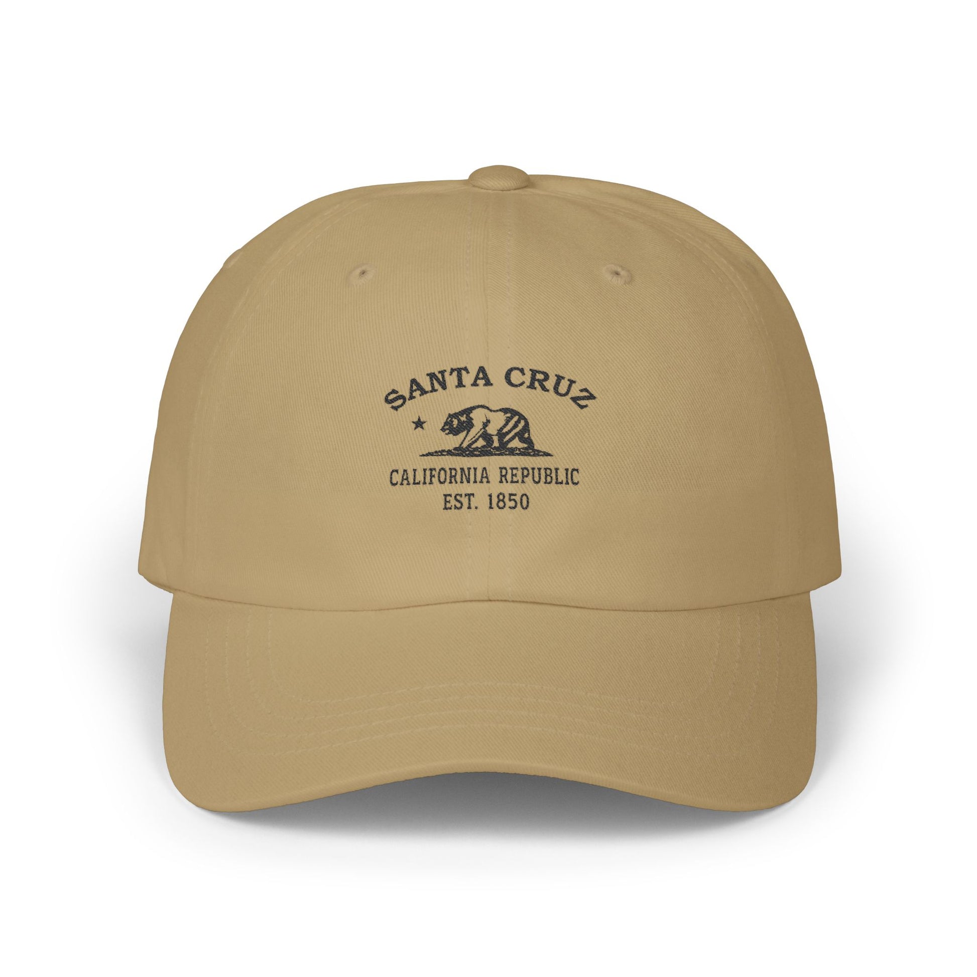





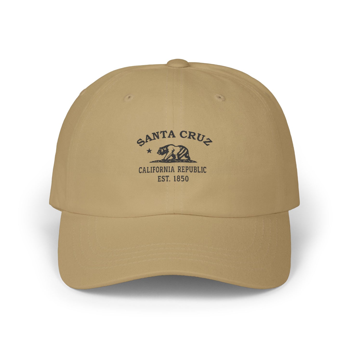
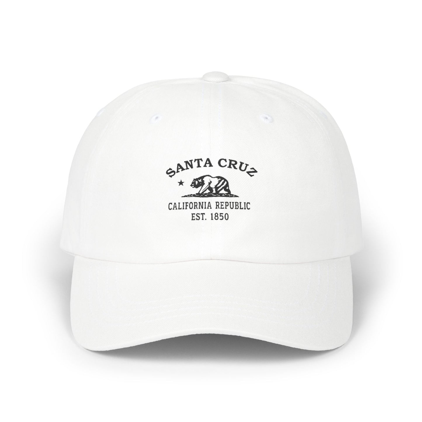




Our Santa Cruz retro logo carries the California Bear and the star of the 1846 Bear Flag tradition, with "1850" stamped beneath for the year of statehood. The black-and-white styling is retro, in the vocabulary of crate labels, mid-century beach signage, and the old wooden-coaster placards that once told boardwalk visitors how tall they had to be to ride. The bear and star, paired with the date, do the work of placing the design in the founding generation of the state — and the city that has been running its boardwalk longer than any other California town has been running anything along the Pacific.
Santa Cruz runs the last great seaside boardwalk in America. The Awaswas-speaking Ohlone have been the original peoples of this coast for thousands of years. On August 28, 1791, Father Fermín Francisco de Lasuén — Junípero Serra's successor as president of the California missions — raised the cross at the mouth of the San Lorenzo River and founded Mission Santa Cruz, the twelfth of the twenty-one missions and the only one named not for a saint but for the Holy Cross itself. The river flooded the mission its first winter, so the padres rebuilt on the bluff above; the Neary-Rodriguez Adobe of the rebuilt mission still stands today at Santa Cruz Mission State Historic Park, and it is the best-preserved Native-housing building in the entire California mission chain. In 1796 the Spanish founded a pueblo across the river called Branciforte. An 1840 earthquake cracked the bell tower, and the great 1857 Fort Tejon earthquake brought the rest of the mission down; Holy Cross Church went up on the site in 1889, and a half-size replica of the original chapel was built in 1932 with Gladys Sullivan Doyle's money. The city incorporated in 1866. Down at the mouth of the river, the beach had been a bathing destination since John Leibrandt opened his bathhouse there in 1865; in 1907, the promoter Fred W. Swanton — chasing the dream of a Coney Island of the West — opened the Santa Cruz Beach Boardwalk, which has been running every season since and is today California's oldest surviving amusement park. Charles I. D. Looff delivered his hand-carved carousel from Long Beach in August of 1911, with a 342-pipe organ already eighteen years old at the time of installation. Charles's son Arthur Looff built the Giant Dipper, a 70-foot-tall, 2,640-foot-long wooden roller coaster, and opened it on May 17, 1924 — today one of the oldest operating wooden coasters in the United States, the fourth-oldest in the country. On February 24, 1987, the U.S. Secretary of the Interior designated the Carousel and the Giant Dipper, together, as a National Historic Landmark, and the entire Boardwalk is California Historical Landmark No. 983. On October 17, 1989, at 5:04 in the afternoon, the magnitude-6.9 Loma Prieta earthquake on the San Andreas Fault struck with its epicenter in the Santa Cruz Mountains, and downtown Santa Cruz's Pacific Garden Mall was rebuilt afterward as the pedestrian district that runs Pacific Avenue today. Steamer Lane breaks off Lighthouse Point, Pleasure Point breaks at the eastern end of town, and Natural Bridges State Beach holds the sea arches and the monarchs. Big Basin, the first state park in California, was set aside in 1902. The redwoods start where the boardwalk ends. On Monterey Bay since 1791.
Why People Visit Santa Cruz California
- Walk the Santa Cruz Beach Boardwalk — California's oldest surviving amusement park, on the bay since 1907, with the 1911 Looff Carousel and the 1924 Giant Dipper wooden roller coaster, both National Historic Landmarks since February 24, 1987. The entire property is California Historical Landmark No. 983.
- Visit Santa Cruz Mission State Historic Park on School Street — the Neary-Rodriguez Adobe is the only surviving original Mission Santa Cruz building, and the best-preserved Native-housing structure in the entire California mission chain. The half-size replica chapel sits on Mission Hill across from Holy Cross Church (1889).
- Walk West Cliff Drive — the paved three-and-a-half-mile coastal path from the Boardwalk past Lighthouse Point to Natural Bridges State Beach, with the surf breaking below the whole way.
- Watch the surf at Steamer Lane off Lighthouse Point — Northern California's most storied surf break, with the small Santa Cruz Surfing Museum in the lighthouse itself.
- Watch the surf at Pleasure Point at the eastern end of the city — a long right-point break running off the cliff at 32nd through 41st Avenues.
- Walk Natural Bridges State Beach — sea arches, tide pools, and the eucalyptus monarch-butterfly grove that fills up every October through February.
- Walk Pacific Avenue through the Pacific Garden Mall — the downtown pedestrian district rebuilt after the October 17, 1989 Loma Prieta earthquake, with murals, shops, and buskers along the corridor that survived the quake by being rebuilt around it.
- Hike Henry Cowell Redwoods State Park up Highway 9 — old-growth coast redwoods, the Roaring Camp narrow-gauge steam railroad, and the San Lorenzo River running through it.
- Hike Big Basin Redwoods State Park — California's first state park, set aside in 1902, with the tallest old-growth coast redwoods south of Humboldt and trails through the canyons.
- Walk the Forest of Nisene Marks State Park near Aptos — the epicenter location of the 1989 Loma Prieta earthquake, in the redwoods.
- Walk the Santa Cruz Wharf — the long public pier into Monterey Bay, with the sea lions barking from the pilings underneath.
- Visit the Mystery Spot on Branciforte Drive — the 1939 gravitational-anomaly tourist attraction in the redwoods east of downtown.
- Visit the UC Santa Cruz campus in the redwoods above the city — opened in 1965, with the Arboretum, the Cowell College buildings, and the trails through the upper meadow with views of Monterey Bay.
- Drive Highway 1 south through Capitola, Aptos, and on to Watsonville and Monterey, or north up the San Mateo coast toward Pescadero and Half Moon Bay.
