

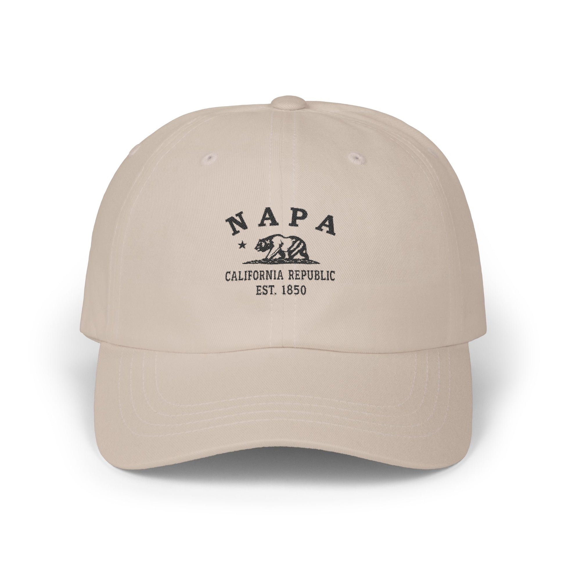
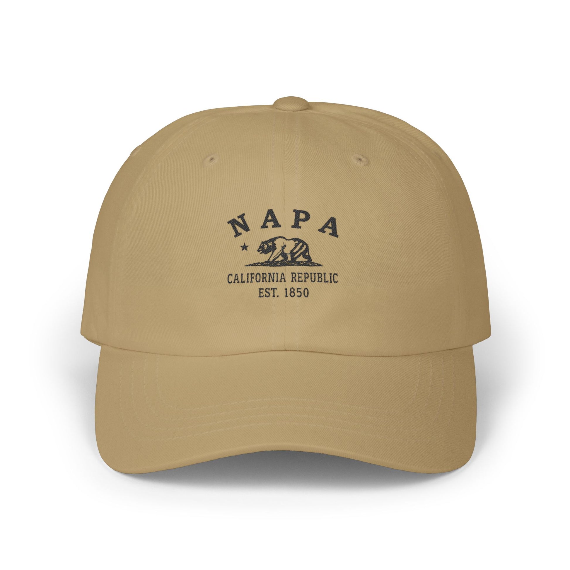






Napa was settled by a contract too — just signed in glasses instead of ink. On May 24, 1976, in a meeting room at the InterContinental Hotel in Paris, a British wine merchant named Steven Spurrier sat nine of France's most respected judges down in front of twenty wines and asked them to grade what they tasted. Ten were Chardonnays — six from California, four from white Burgundy. Ten were red — six California Cabernets, four Bordeaux First Growths. The judges did not know which was which. When the scores were tallied, a 1973 Chateau Montelena Chardonnay had won the white flight and a 1973 Stag's Leap Wine Cellars Cabernet Sauvignon had won the red. Both came from a 30-mile valley in northern California, an hour northeast of San Francisco, that ran north-south between two mountain ranges — the Mayacamas on the west, the Vacas on the east — with the Napa River running its length and the bulk of Mount St. Helena closing the head of the valley. The world has known what to think of that valley ever since. 2026 marks the fiftieth anniversary. The Wappo people had farmed and gathered this ground for generations before contact. Mexican land grants reshaped it in the 1830s and 1840s. American settlement followed in 1846. The city of Napa was founded in 1847. In 1861, a Prussian immigrant named Charles Krug planted the first commercial winery in California on Highway 29 north of town — still operating today, the oldest in the state — and the rest of the valley followed his lead. The 1880s phylloxera blight nearly wiped the vineyards out. Prohibition from 1920 to 1933 killed most of the wineries that remained. In 1966 Robert Mondavi opened the Mondavi Winery on Highway 29 — the first major new winery in the valley since Repeal — and the modern Napa renaissance began. Ten years later, in that hotel room in Paris, the world had to admit what the valley had become. The fog rolls in off San Pablo Bay every night through the gap at the valley's south end, drops the temperature thirty degrees by dawn, and lifts back out by mid-morning — the diurnal swing that gives Napa Cabernet its acid spine and the long hang time that makes the fruit. The thirty-mile valley that beat Bordeaux in 1976, and pressing grapes since 1861, between the Mayacamas and the Vacas with the river running through.
Napa was settled in the 1840s, originally home to the Patwin people before Mexican ranchos and American pioneers arrived. Its fertile valley supported farming and ranching, later transitioning to vineyards. The Gold Rush brought growth, as Napa became a supply hub. Its founding identity reflects Indigenous continuity, pioneer resilience, and agricultural abundance. Napa's story highlights California's duality: Native traditions alongside frontier ambition. From its earliest days, Napa's identity was tied to land, community pride, and resilience in the face of fires, floods, and hardship, creating a foundation for its reputation as a cultural and agricultural center.
Why People Visit Napa California
- Drive Highway 29, the historic Wine Road that runs north out of the city of Napa up the western edge of the valley past the founding-era estates between Yountville and St. Helena.
- Drive the Silverado Trail, the quieter parallel route a few miles up the eastern hillside, with the long-view back across the valley floor toward the Mayacamas.
- Visit Charles Krug Winery on Highway 29 in St. Helena, founded 1861 — the first commercial winery established in California and the oldest still in operation.
- Visit the Robert Mondavi Winery on Highway 29 in Oakville, founded 1966 — the modernist Cliff May mission-style estate that opened the modern Napa renaissance and made the valley a global wine destination.
- See the exterior of the 1884 Beringer Rhine House on Highway 29 in St. Helena — the German-style mansion that is one of the valley's signature architectural landmarks.
- See the Napa Valley Opera House on Main Street in downtown Napa — the restored 1879 performing-arts landmark in the heart of the riverfront district.
- Walk the Napa River Walk and the downtown riverfront — promenades, plazas, and bridges along the river through the historic heart of the city.
- Hike Skyline Wilderness Park on the southeastern edge of the city — 850 acres of oak woodlands, lake loops, and hilltop views back across the valley.
- Drive north to Calistoga at the head of the valley for the mineral hot springs, the geyser country, and the long view south down the length of Napa Valley.
- Drive northeast to Lake Berryessa for the boating, the fishing, and the high-country views east of the valley floor.
- Climb (or drive partway up) Mount St. Helena, the 4,343-foot peak that closes the head of the valley — Robert Louis Stevenson State Park preserves the trail and the slopes where Stevenson honeymooned in 1880.
- Plan a visit during harvest season (August through October) for the crush, the cellar work, and the late-October press — the peak of the valley's working rhythm.
